


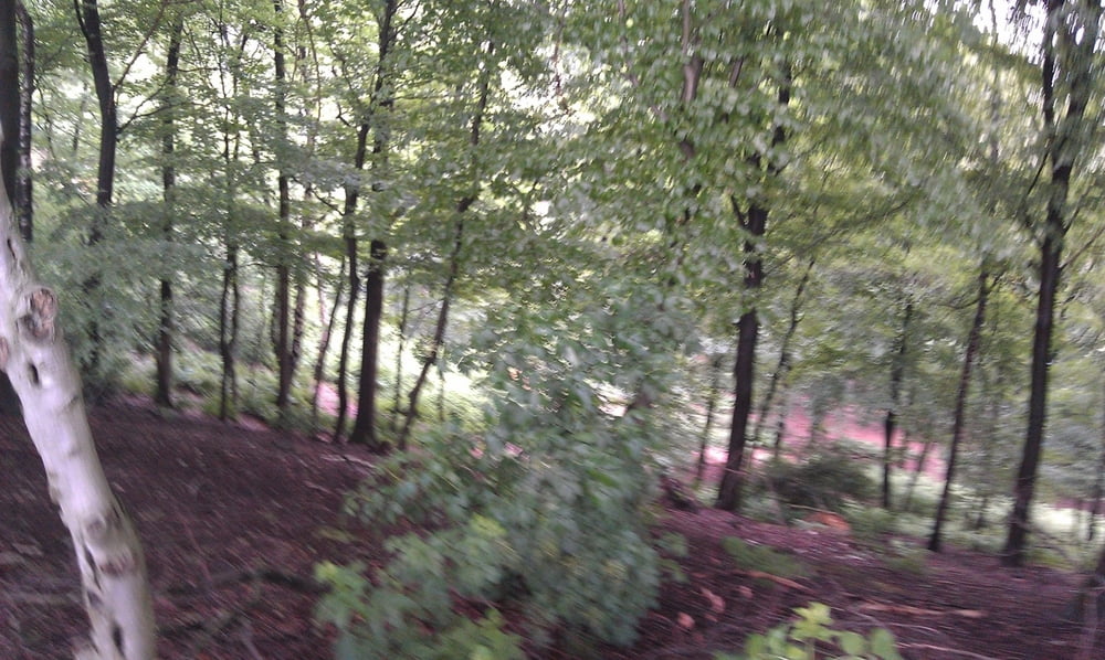
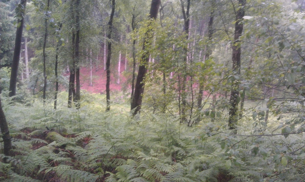
Tour Startet in Reken an der Velener Str.Von da geht es über Landstraßen in die
Hohe Mark. Sehr steile und enge Wege sind dort.
Tour ist nicht leicht für Anfänger zu fahren
Viel Spaß
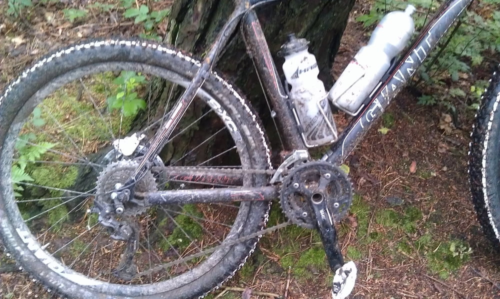
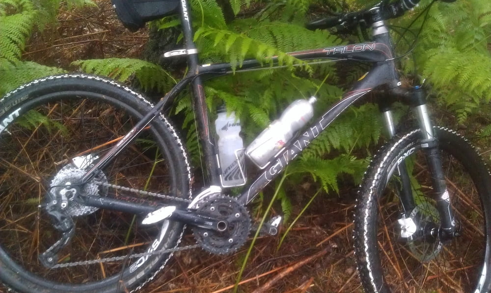
Galeria trasy
Mapa trasy i profil wysokości
Minimum height 68 m
Maximum height 140 m
More about the tour author
|
|
wer567 |
Komentarze

GPS tracks
Trackpoints-
GPX / Garmin Map Source (gpx) download
-
TCX / Garmin Training Center® (tcx) download
-
CRS / Garmin Training Center® (crs) download
-
Google Earth (kml) download
-
G7ToWin (g7t) download
-
TTQV (trk) download
-
Overlay (ovl) download
-
Fugawi (txt) download
-
Kompass (DAV) Track (tk) download
-
Karta trasy (pdf) download
-
Original file of the author (gpx) download
More about the tour author
|
|
wer567 |
Add to my favorites
Remove from my favorites
Edit tags
Open track
My score
Rate