


Schöne Sonntagsnachmittagsrunde durch die Täler und über die Höhen rund um Jena.
Sehenswürdigkeiten und gute Gaststätten am Rander der Tour:
Autobahnbrücke und -überbauung bei Lobeda
Hochebene über Sulza mit schönem Blick auf Jena
Sonnenkreis und Kloßgaststätte in Magersdorf
Künstlermühle Plinz mit Galerie und dem "Garten der Stille"
neue Autobahntrasse bei Bucha
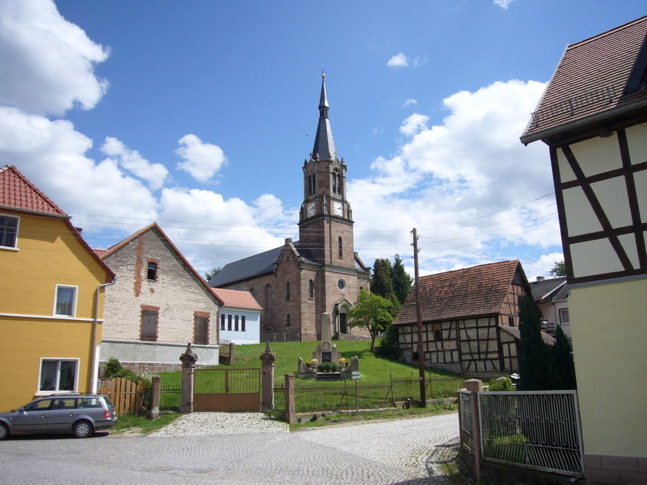
Windpark Coppanz
Gaststätte Vollradisroda
Schlachtfeld 1806
Galeria trasy


Mapa trasy i profil wysokości
Minimum height 107 m
Maximum height 416 m
More about the tour author
|
|
aussie1248 |
Komentarze

Start und Ziel liegen im Westviertel Jenas, wo Parkplätze selten sind. Start an der Kreuzung Wagnergasse/Quergasse, hier sind auch kostenlose Parkplätze in geringer Zahl vorhanden. Man kann die Tour auch vom Parkplatz der Neuen Mitte aus beginnen.
Navi:
07743 Jena, Quergasse 1
GPS tracks
Trackpoints-
GPX / Garmin Map Source (gpx) download
-
TCX / Garmin Training Center® (tcx) download
-
CRS / Garmin Training Center® (crs) download
-
Google Earth (kml) download
-
G7ToWin (g7t) download
-
TTQV (trk) download
-
Overlay (ovl) download
-
Fugawi (txt) download
-
Kompass (DAV) Track (tk) download
-
Karta trasy (pdf) download
-
Original file of the author (gpx) download
More about the tour author
|
|
aussie1248 |
Add to my favorites
Remove from my favorites
Edit tags
Open track
My score
Rate