Login

Zapomniałeś swój login?

Cookies have to be accepted!
Your browser's cookie functionality is disabled. Please enable this functionality.

Not a member yet?

Register now
Login

Available for registred users only

Log in to use this feature.

Zapomniałeś swój login?

Cookies have to be accepted!
Your browser's cookie functionality is disabled. Please enable this functionality.

Not a member yet?

Register now
Filter
Kategorie
Advanced filters
  • Długość (km)
  • Wysokość
Zapisz filtr Reset filter

TrackRank

QRCode

Technical data

Długość24,4 km Wysokość64 m Way down64 m Czas trwania01:10 h:m Data17.06.2012
Oceny Author Krajobraz Czynnik zadowolenia Kondycja Technika

Statystyka

168 Widoki Oceny 8 Downloads / Pliki do pobrania Przeciętnie
Rate
  • Karta trasy
  • Dojazd
  • Downloads / Pliki do pobrania

Da will man einmal zur Fußballeuropameisterschaft ein PublicViewing besuchen und was ist los?. Das Spiel ist unterbrochen weil es unglaublich schüttet.

Also geniesse ich mit meinem Rad dielocation und mache einen Ruhigen.

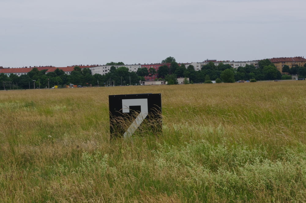
Nach einer Runde um das Feld und einmal längs auf der südlichen Startbahn fahre ich zurück.

War schön.

Further information at

http://peterpapke.de/

Mapa trasy i profil wysokości

  • Open Street Map
  • Google
Minimum height 43 m Maximum height 58 m Widok szczegółowy

More about the tour author

Pheinz
Member since 2009

Send private message

Komentarze

Einstieg an beliebiger Stelle.

GPS tracks

Trackpoints
  • GPX / Garmin Map Source (gpx) download
  • TCX / Garmin Training Center® (tcx) download
  • CRS / Garmin Training Center® (crs) download
  • Google Earth (kml) download
  • G7ToWin (g7t) download
  • TTQV (trk) download
  • Overlay (ovl) download
  • Fugawi (txt) download
  • Kompass (DAV) Track (tk) download
  • Karta trasy (pdf) download
  • Original file of the author (gpx) download

More about the tour author

Pheinz
Member since 2009

Send private message
Share track
Add to my favorites
Remove from my favorites
Edit tags
My score
Rate
Trasa: 120614-Public Viewing in Tempelhof
Rodzaj: Trasy rowerowe
Długość: 24,4 km
Evaluated on:
Czas trwania:
Day(s)
Hour(s)
Minute(s)
Ocena: Krajobraz Czynnik zadowolenia Kondycja Technika