Login

Zapomniałeś swój login?

Cookies have to be accepted!
Your browser's cookie functionality is disabled. Please enable this functionality.

Not a member yet?

Register now
Login

Available for registred users only

Log in to use this feature.

Zapomniałeś swój login?

Cookies have to be accepted!
Your browser's cookie functionality is disabled. Please enable this functionality.

Not a member yet?

Register now
Filter
Kategorie
Advanced filters
  • Długość (km)
  • Wysokość
Zapisz filtr Reset filter

TrackRank

QRCode

Technical data

Długość10,6 km Wysokość176 m Way down238 m Czas trwania00:00 h:m Data19.06.2012
Oceny Author Krajobraz Czynnik zadowolenia Kondycja Technika

Statystyka

245 Widoki Oceny 50 Downloads / Pliki do pobrania Przeciętnie
Rate
  • Karta trasy
  • Dojazd
  • Downloads / Pliki do pobrania

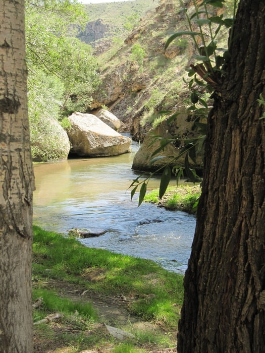
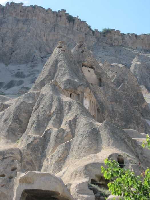
Die Schlucht des Ihlaratals zieht sich entlang des Melendiz Su Flusses von Ihlara im Südosten nach Selime im Nordwesten. Über 400 Stufen gelangt man begleitet von zahlreichen Touristen und schnatternden Schulklassen in die Schlucht mit ihren vielen Felsenkirchen und Höhlenbauten. Bereits nach ein paar hundert Metern wandert man einen verwunschenen Weg mit herrlichen Ausblicken in wohltuender Ruhe.

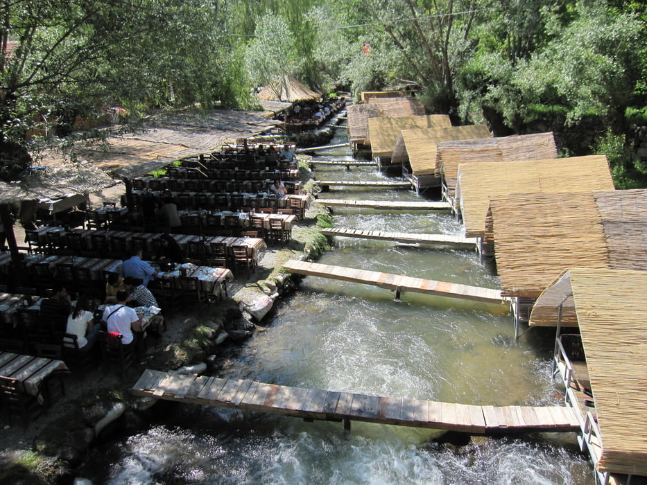
Ein Spielplatz für Erwachsene!

Galeria trasy

Mapa trasy i profil wysokości

  • Open Street Map
  • Google
Minimum height 1117 m Maximum height 1299 m Widok szczegółowy

More about the tour author

Radegundis
Member since 2009

Send private message

Komentarze

GPS tracks

Trackpoints
  • GPX / Garmin Map Source (gpx) download
  • TCX / Garmin Training Center® (tcx) download
  • CRS / Garmin Training Center® (crs) download
  • Google Earth (kml) download
  • G7ToWin (g7t) download
  • TTQV (trk) download
  • Overlay (ovl) download
  • Fugawi (txt) download
  • Kompass (DAV) Track (tk) download
  • Karta trasy (pdf) download
  • Original file of the author (gpx) download

More about the tour author

Radegundis
Member since 2009

Send private message
Share track
Add to my favorites
Remove from my favorites
Edit tags
My score
Rate
Trasa: Entlang des Ihlaratals
Rodzaj: Wędrówki
Długość: 10,6 km
Evaluated on:
Czas trwania:
Day(s)
Hour(s)
Minute(s)
Ocena: Krajobraz Czynnik zadowolenia Kondycja Technika