


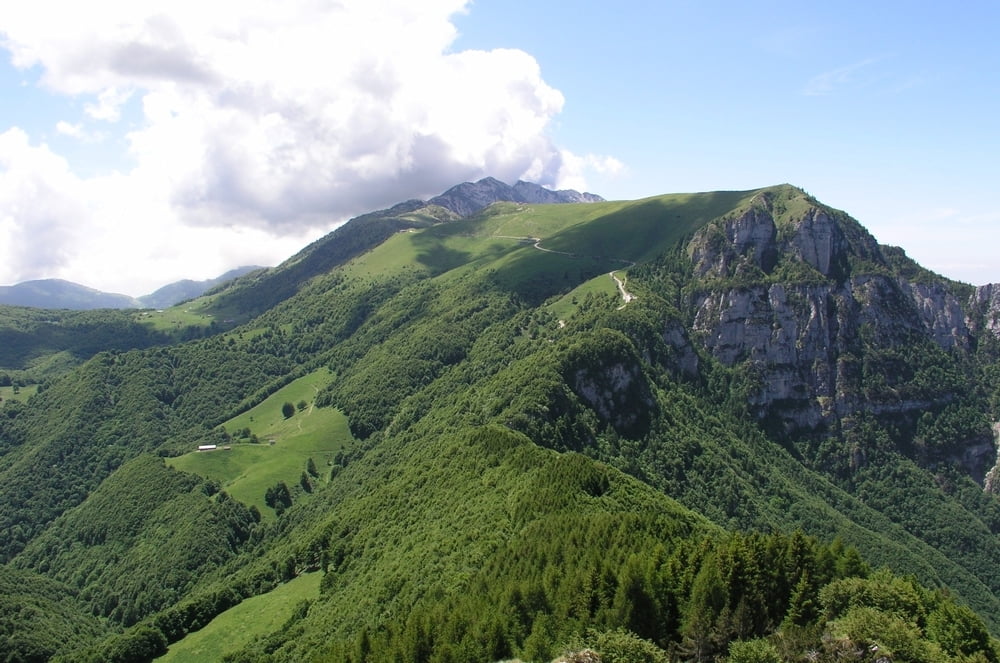
Diese Tour führt von der Bergstation des Monte Baldo auf den Monte Altissimo und zurück zur Bergstation. Ein früher Start ist sehr empfehlenswert, da spätestens am 10 Uhr die Warteschlangen der Talstation immer länger werden und den Abmarsch auf dem Monte Baldo schnell in Richtung Mittagszeit verschieben.
Einkehrmöglichkeit auf dem Gipfel:
www.rifugioaltissimo.it/galleria
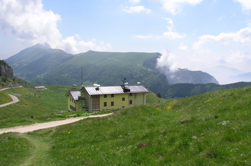
Einkehrmöglichkeit auf halbem Wege:
www.albergorifugiograziani.it/chisiamo.html
Die Tour bietet grandiose Aussicheten auf den Gardasee, das Etschtal und in die Berge in Richtung Südtirol.
Further information at
http://www.funiviedelbaldo.it/de/articles/Monte-Baldo_15.htmGaleria trasy


Mapa trasy i profil wysokości
Minimum height 1408 m
Maximum height 2064 m
More about the tour author
|
|
klaus62 |
Komentarze

Aufstieg mit der Seilbahn, Talstation Malcesine:
www.funiviedelbaldo.it/de/articles/Karte-und-kontakte_9.htm
GPS tracks
Trackpoints-
GPX / Garmin Map Source (gpx) download
-
TCX / Garmin Training Center® (tcx) download
-
CRS / Garmin Training Center® (crs) download
-
Google Earth (kml) download
-
G7ToWin (g7t) download
-
TTQV (trk) download
-
Overlay (ovl) download
-
Fugawi (txt) download
-
Kompass (DAV) Track (tk) download
-
Karta trasy (pdf) download
-
Original file of the author (gpx) download
More about the tour author
|
|
klaus62 |
Add to my favorites
Remove from my favorites
Edit tags
Open track
My score
Rate