Login

Zapomniałeś swój login?

Cookies have to be accepted!
Your browser's cookie functionality is disabled. Please enable this functionality.

Not a member yet?

Register now
Login

Available for registred users only

Log in to use this feature.

Zapomniałeś swój login?

Cookies have to be accepted!
Your browser's cookie functionality is disabled. Please enable this functionality.

Not a member yet?

Register now
Filter
Kategorie
Advanced filters
  • Długość (km)
  • Wysokość
Zapisz filtr Reset filter

TrackRank

QRCode

Technical data

Długość12,8 km Wysokość109 m Way down118 m Czas trwania02:00 h:m Data23.06.2012
Oceny Author Krajobraz Czynnik zadowolenia Kondycja Technika

Statystyka

176 Widoki Oceny 12 Downloads / Pliki do pobrania Przeciętnie
Rate
  • Karta trasy
  • Dojazd
  • Downloads / Pliki do pobrania

Niet geschikt voor rolstoelen en kinderwagens.

Na regenweer best deftig schoeisel gebruiken.
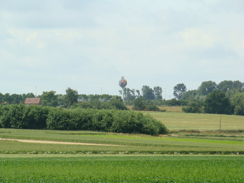
Galeria trasy

Mapa trasy i profil wysokości

  • Open Street Map
  • Google
Minimum height 47 m Maximum height 94 m Widok szczegółowy

More about the tour author

ikkel
Member since 2009

Send private message

Komentarze

1 stukje aan de overweg is gesloten en 1 wandelweg is ingepalmd door een boer en bouwfirma.

Deze trokken zich niets aan van de wandelpijlen ( gr-route en lokale wandelingen) en eigenden zich de wandelweg toe.

Voor beidde is er in de wandeltrack een alternatief voorzien.

GPS tracks

Trackpoints
  • GPX / Garmin Map Source (gpx) download
  • TCX / Garmin Training Center® (tcx) download
  • CRS / Garmin Training Center® (crs) download
  • Google Earth (kml) download
  • G7ToWin (g7t) download
  • TTQV (trk) download
  • Overlay (ovl) download
  • Fugawi (txt) download
  • Kompass (DAV) Track (tk) download
  • Karta trasy (pdf) download
  • Original file of the author (gpx) download

More about the tour author

ikkel
Member since 2009

Send private message
Share track
Add to my favorites
Remove from my favorites
Edit tags
My score
Rate
Trasa: Wandelen in Boutersem
Rodzaj: Wędrówki
Długość: 12,8 km
Evaluated on:
Czas trwania:
Day(s)
Hour(s)
Minute(s)
Ocena: Krajobraz Czynnik zadowolenia Kondycja Technika