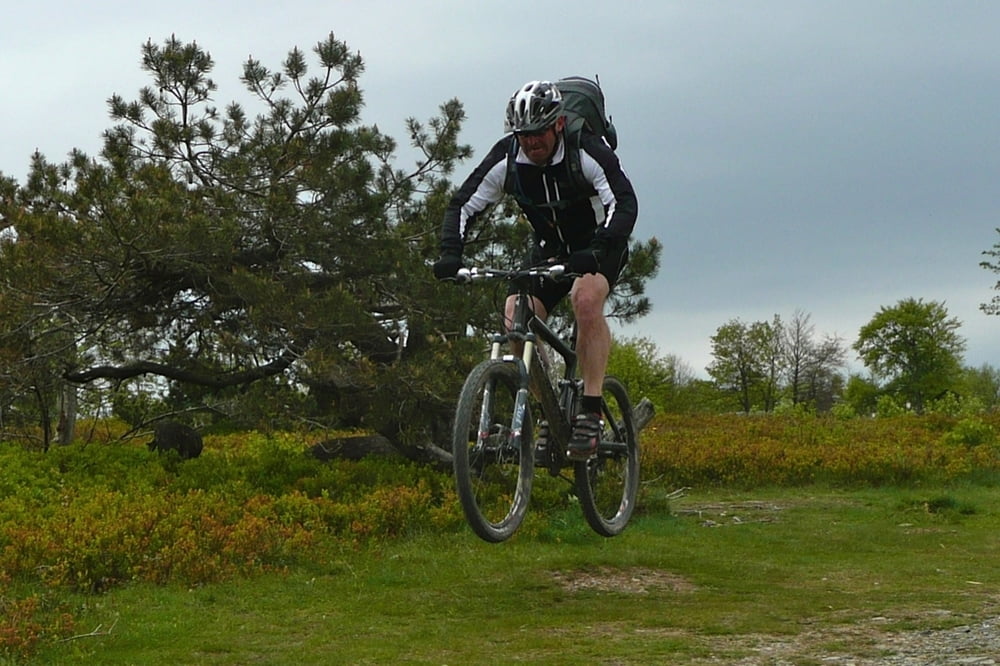
Böminghausen - RW-Turm - Margarethenstein - Härdler - Jagdhaus - Fleckenberg - Schmallenberg - Fredeburg - Italiener - Rimberg - Hunau - Hohlwegdownhill - Siedlingshausen - Bergsee - M-Uphill - Winterberg - Kahle Asten - Lenneplätze - Langwiese - Rothaarsteig - Großer Kopf - Schäferhof - Sonnbornquelle - Margarethenstein - RW-Trum - Marmeke Downhill - Böminghausen
Further information at
http://www.hegibiketour.deGaleria trasy
Mapa trasy i profil wysokości
Minimum height 350 m
Maximum height 843 m
Komentarze

Start in Böminghausen! Da gibts einen kleinen Wanderparkplatz zum parken!
GPS tracks
Trackpoints-
GPX / Garmin Map Source (gpx) download
-
TCX / Garmin Training Center® (tcx) download
-
CRS / Garmin Training Center® (crs) download
-
Google Earth (kml) download
-
G7ToWin (g7t) download
-
TTQV (trk) download
-
Overlay (ovl) download
-
Fugawi (txt) download
-
Kompass (DAV) Track (tk) download
-
Karta trasy (pdf) download
-
Original file of the author (gpx) download
Add to my favorites
Remove from my favorites
Edit tags
Open track
My score
Rate

