


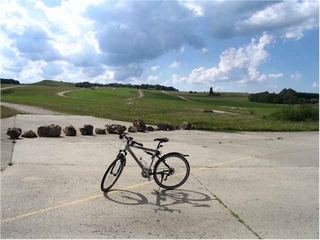
Weilheim - Hepsisau - Schopfloch - Zainingen - Truppenübungsplatz Münsingen - Gruorn - Feldstetten - Westerheim - Wiesensteig - Gruibingen - Deutsches Haus - Weilheim
Further information at
http://www.krisch.deGaleria trasy
Mapa trasy i profil wysokości
Minimum height 328 m
Maximum height 859 m
More about the tour author

|
drache73235 |
Komentarze

Vogge
on 02.07.2009
wirklich nette Runde!

Parkplatz der Tennisanlage Weilheim in der Kirchheimer Strasse
GPS tracks
Trackpoints-
GPX / Garmin Map Source (gpx) download
-
TCX / Garmin Training Center® (tcx) download
-
CRS / Garmin Training Center® (crs) download
-
Google Earth (kml) download
-
G7ToWin (g7t) download
-
TTQV (trk) download
-
Overlay (ovl) download
-
Fugawi (txt) download
-
Kompass (DAV) Track (tk) download
-
Karta trasy (pdf) download
-
Original file of the author (g7t) download
More about the tour author
|
|
drache73235 |
Add to my favorites
Remove from my favorites
Edit tags
Open track
My score
Rate