Login

Zapomniałeś swój login?

Cookies have to be accepted!
Your browser's cookie functionality is disabled. Please enable this functionality.

Not a member yet?

Register now
Login

Available for registred users only

Log in to use this feature.

Zapomniałeś swój login?

Cookies have to be accepted!
Your browser's cookie functionality is disabled. Please enable this functionality.

Not a member yet?

Register now
Filter
Kategorie
Advanced filters
  • Długość (km)
  • Wysokość
Zapisz filtr Reset filter

TrackRank

QRCode

Technical data

Długość3.251,5 km Wysokość32790 m Way down32811 m Czas trwania10 days 0 h Data27.06.2012
Oceny Author Krajobraz Czynnik zadowolenia Kondycja Technika

Statystyka

2040 Widoki Oceny 83 Downloads / Pliki do pobrania Przeciętnie
Rate
  • Karta trasy
  • Dojazd
  • Downloads / Pliki do pobrania

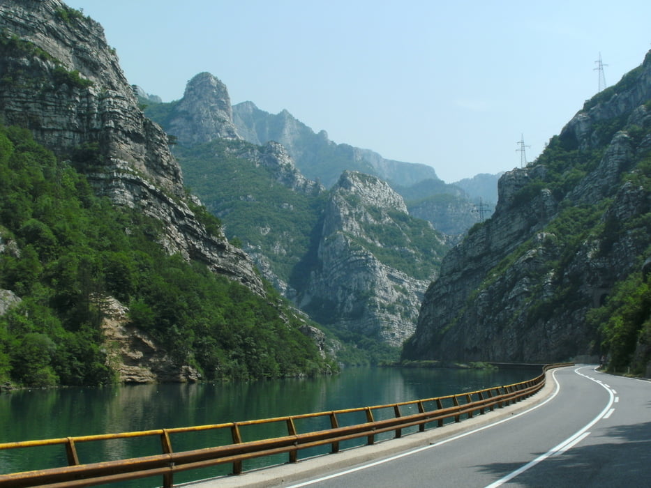
eine schöne und abwechslungsreiche Tour durch landschaftlich reizvolle Gegenden mit überwiegend guten Straßen. Nur ein geringer Teil ist in einem etwas desolaten Zustand.

An den Grenzübergängen genügte der Personalausweis. Liegt anscheinend im Ermessen des Grenzbeamten .Manchmal mußte auch der Kfz. Schein vorgelegt werden.

Die Übernachtungspreise mit  Frühstück lagen zwischen € 22,00 und € 30,00.


Galeria trasy

Mapa trasy i profil wysokości

  • Open Street Map
  • Google
Minimum height -1 m Maximum height 2177 m Widok szczegółowy

More about the tour author

yr1willi
Member since 2006

Send private message

Komentarze

GPS tracks

Trackpoints
  • GPX / Garmin Map Source (gpx) download
  • TCX / Garmin Training Center® (tcx) download
  • CRS / Garmin Training Center® (crs) download
  • Google Earth (kml) download
  • G7ToWin (g7t) download
  • TTQV (trk) download
  • Overlay (ovl) download
  • Fugawi (txt) download
  • Kompass (DAV) Track (tk) download
  • Karta trasy (pdf) download
  • Original file of the author (gpx) download

More about the tour author

yr1willi
Member since 2006

Send private message
Share track
Add to my favorites
Remove from my favorites
Edit tags
My score
Rate
Trasa: vom Allgäu bis Montenegro
Rodzaj: Motor
Długość: 3.251,5 km
Evaluated on:
Czas trwania:
Day(s)
Hour(s)
Minute(s)
Ocena: Krajobraz Czynnik zadowolenia Kondycja Technika