Login

Zapomniałeś swój login?

Cookies have to be accepted!
Your browser's cookie functionality is disabled. Please enable this functionality.

Not a member yet?

Register now
Login

Available for registred users only

Log in to use this feature.

Zapomniałeś swój login?

Cookies have to be accepted!
Your browser's cookie functionality is disabled. Please enable this functionality.

Not a member yet?

Register now
Filter
Kategorie
Advanced filters
  • Długość (km)
  • Wysokość
Zapisz filtr Reset filter

TrackRank

QRCode

Technical data

Długość31,0 km Wysokość256 m Way down240 m Czas trwania01:45 h:m Data28.06.2012
Oceny Author Krajobraz Czynnik zadowolenia Kondycja Technika

Statystyka

97 Widoki Oceny 16 Downloads / Pliki do pobrania Przeciętnie
Rate
  • Karta trasy
  • Dojazd
  • Downloads / Pliki do pobrania
Die Tour führt von Neuenreuth am Main zuerst durch einen Wald kontinuierlich bergauf. Nachdem das "Dach" dieser Tour erreicht worden ist, geht es gen Thurnau. Nach Thurnau folgt noch ein weiterer Anstieg. Anschließend geht es angenehm bergab in Richtung Main-Zusammenschluss. Auf dem Rückweg bieten sich landschaftlich reizvolle Panoramen; inbesondere auf die Burg Plassenburg.
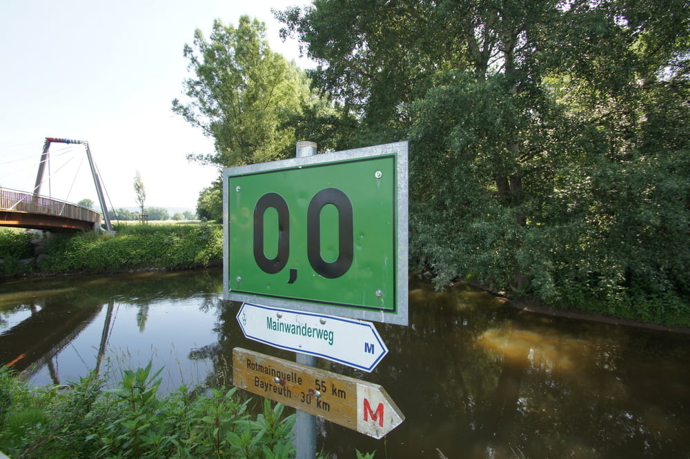
Galeria trasy

Mapa trasy i profil wysokości

  • Open Street Map
  • Google
Minimum height 291 m Maximum height 398 m Widok szczegółowy

More about the tour author

Huthinho
Member since 2011

Send private message

Komentarze

GPS tracks

Trackpoints
  • GPX / Garmin Map Source (gpx) download
  • TCX / Garmin Training Center® (tcx) download
  • CRS / Garmin Training Center® (crs) download
  • Google Earth (kml) download
  • G7ToWin (g7t) download
  • TTQV (trk) download
  • Overlay (ovl) download
  • Fugawi (txt) download
  • Kompass (DAV) Track (tk) download
  • Karta trasy (pdf) download
  • Original file of the author (gpx) download

More about the tour author

Huthinho
Member since 2011

Send private message
Share track
Add to my favorites
Remove from my favorites
Edit tags
My score
Rate
Trasa: Zum Zusammenschluss des Mains
Rodzaj: Rower trekkingowy
Długość: 31,0 km
Evaluated on:
Czas trwania:
Day(s)
Hour(s)
Minute(s)
Ocena: Krajobraz Czynnik zadowolenia Kondycja Technika