Login

Zapomniałeś swój login?

Cookies have to be accepted!
Your browser's cookie functionality is disabled. Please enable this functionality.

Not a member yet?

Register now
Login

Available for registred users only

Log in to use this feature.

Zapomniałeś swój login?

Cookies have to be accepted!
Your browser's cookie functionality is disabled. Please enable this functionality.

Not a member yet?

Register now
Filter
Kategorie
Advanced filters
  • Długość (km)
  • Wysokość
Zapisz filtr Reset filter

TrackRank

QRCode

Technical data

Długość31,6 km Wysokość229 m Way down242 m Czas trwania01:31 h:m Data28.06.2012
Oceny Author Krajobraz Czynnik zadowolenia Kondycja Technika

Statystyka

490 Widoki Oceny 64 Downloads / Pliki do pobrania Przeciętnie
Rate
  • Karta trasy
  • Dojazd
  • Downloads / Pliki do pobrania

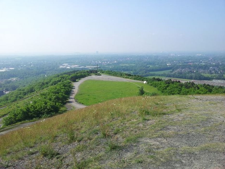
Schöne Feierabendrunde durch die schönen Wälder Bottrops, hier nur einige Sachen der Tour: Halde Haniel, Rotbach, Heidesee, Grafenmühle, Schlageterteich, Golfplatz Jacobi.


Die Runde hat nicht viel Höhenmeter und ist eher zum lockeren Fahren gedacht. Viel Spaß dabei!

Galeria trasy

Mapa trasy i profil wysokości

  • Open Street Map
  • Google
Minimum height 41 m Maximum height 186 m Widok szczegółowy

More about the tour author

buggi
Member since 2008

Send private message

Komentarze

Da es ein Rundkurs ist, kann überall (z.B. Bot-Grafenmühle) eingestiegen werden!

GPS tracks

Trackpoints
  • GPX / Garmin Map Source (gpx) download
  • TCX / Garmin Training Center® (tcx) download
  • CRS / Garmin Training Center® (crs) download
  • Google Earth (kml) download
  • G7ToWin (g7t) download
  • TTQV (trk) download
  • Overlay (ovl) download
  • Fugawi (txt) download
  • Kompass (DAV) Track (tk) download
  • Karta trasy (pdf) download
  • Original file of the author (gpx) download

More about the tour author

buggi
Member since 2008

Send private message
Share track
Add to my favorites
Remove from my favorites
Edit tags
My score
Rate
Trasa: Feierabendrunde durch die Wälder Bottrops
Rodzaj: Rower górski (MTB)
Długość: 31,6 km
Evaluated on:
Czas trwania:
Day(s)
Hour(s)
Minute(s)
Ocena: Krajobraz Czynnik zadowolenia Kondycja Technika