


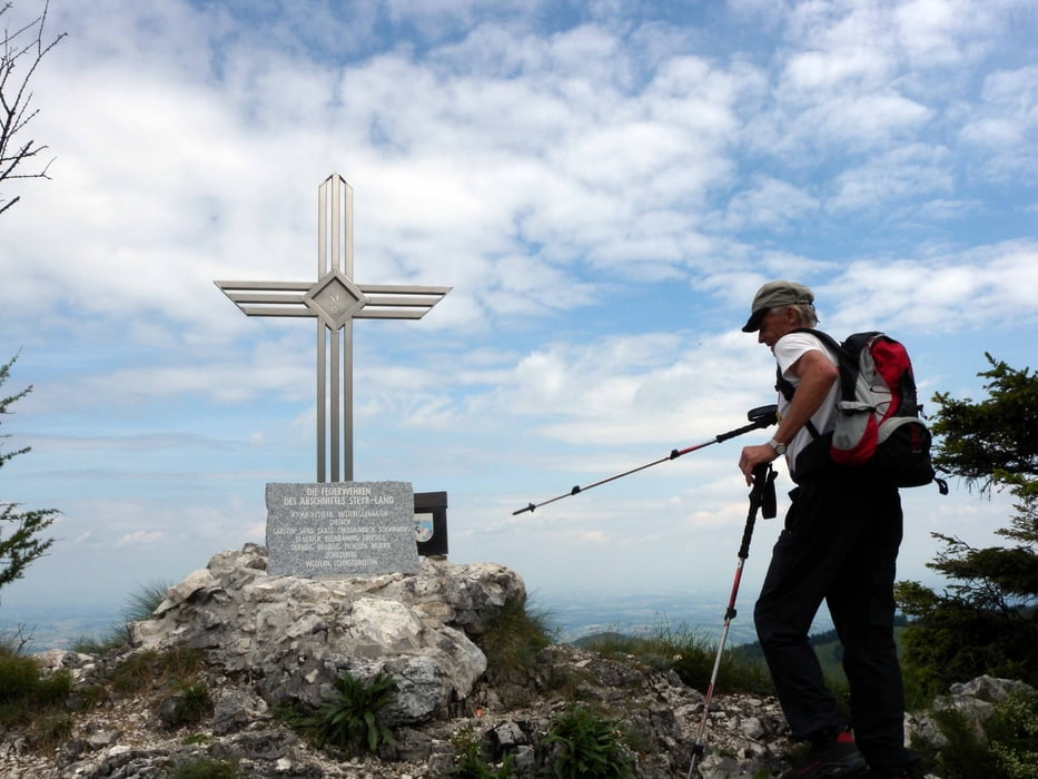
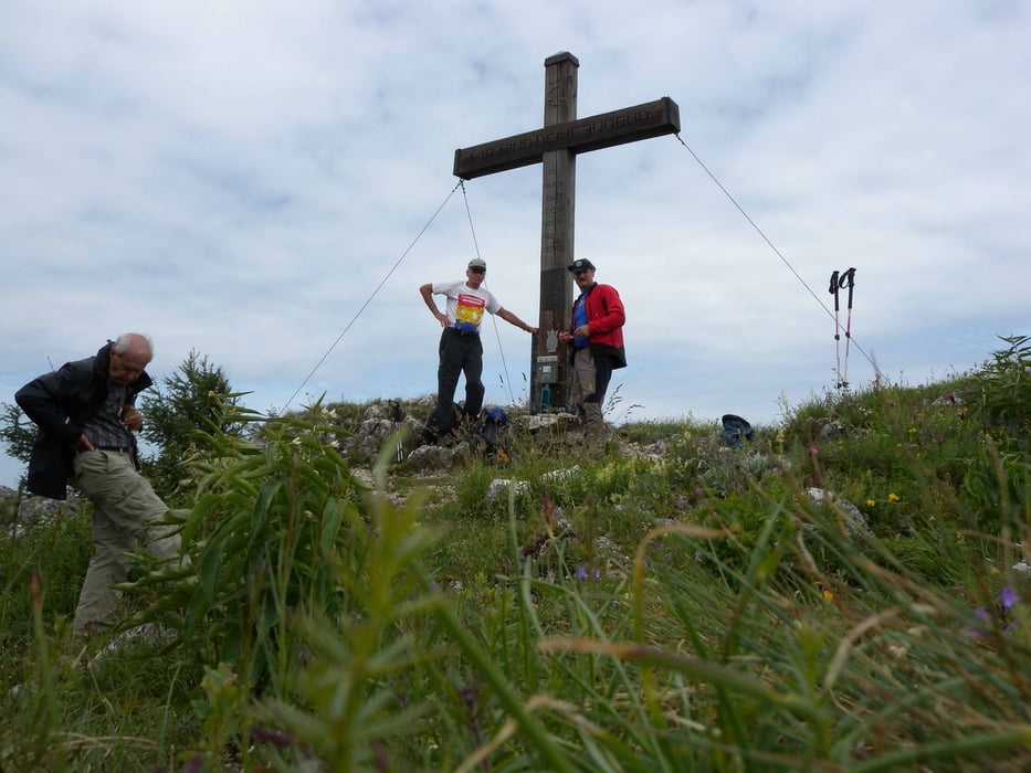
Ausgangspunkt der Tour ist der Parkplatz Dorngraben. Erst auf Forststraße um den Rieserberg herum um zum Weterkreuz zu gelangen. Weiter auf markiertem Weg zu Grünburgerhütte. Kurzer Abstieg über Brettmaisalm zum Pfaffenboden. Neben Steinbruch steil zum Gaisberg.
Abstieg in einen Sattel wo wir auf den Weg zur Mollner-Hütte treffen. (diese nur Wochenend bewirtschaftet) Ab hier ca. 20 min. aufs Dürre Eck. Abstieg auf markiertem Weg zum Parkplatz Dorngraben.
Galeria trasy

Mapa trasy i profil wysokości
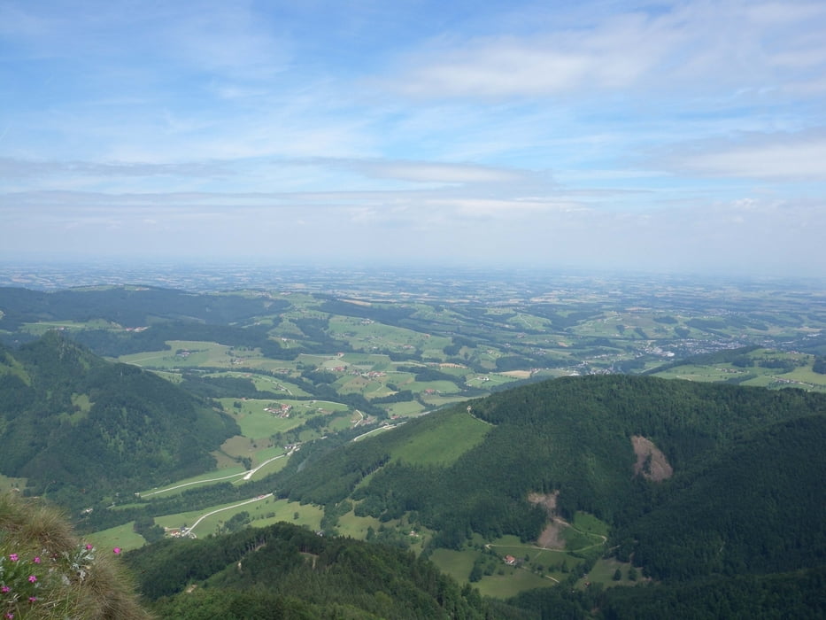
Minimum height 261 m
Maximum height 1206 m
More about the tour author
|
|
piloupe |
Komentarze

Von der A1 in Richtung Steyr. Der Steyr folgend bis nach Obergrünbach. Hier Richtung Haunoldmühle auf Nebenstraße bis zum Dorngraben.
Auffahrt im Dorngraben bis Parkplatz möglich
GPS tracks
Trackpoints-
GPX / Garmin Map Source (gpx) download
-
TCX / Garmin Training Center® (tcx) download
-
CRS / Garmin Training Center® (crs) download
-
Google Earth (kml) download
-
G7ToWin (g7t) download
-
TTQV (trk) download
-
Overlay (ovl) download
-
Fugawi (txt) download
-
Kompass (DAV) Track (tk) download
-
Karta trasy (pdf) download
-
Original file of the author (gpx) download
More about the tour author
|
|
piloupe |
Add to my favorites
Remove from my favorites
Edit tags
Open track
My score
Rate