Login

Zapomniałeś swój login?

Cookies have to be accepted!
Your browser's cookie functionality is disabled. Please enable this functionality.

Not a member yet?

Register now
Login

Available for registred users only

Log in to use this feature.

Zapomniałeś swój login?

Cookies have to be accepted!
Your browser's cookie functionality is disabled. Please enable this functionality.

Not a member yet?

Register now
Filter
Kategorie
Advanced filters
  • Długość (km)
  • Wysokość
Zapisz filtr Reset filter

TrackRank

QRCode

Technical data

Długość117,6 km Wysokość253 m Way down699 m Czas trwania04:55 h:m Data01.07.2012
Oceny Author Krajobraz Czynnik zadowolenia Kondycja Technika

Statystyka

99 Widoki Oceny 14 Downloads / Pliki do pobrania Przeciętnie
Rate
  • Karta trasy
  • Dojazd
  • Downloads / Pliki do pobrania
Tour beginnt in der nähe von Gföhl, führt über Zöbing, durchs Straßertal, entlang dem Kamptalradweg nach Altenwörth. Am linken Donauufer, am Treppelweg entlang, bis nach Tulln. Der Treppelweg ist nicht wirklich schön zu befahren (Gatsch, feuchte Wiese). In Tulln für der Weg wieder auf fahrbarem Untergrund entlang dem rechten Ufer bis nach Greiffenstein. Dann übers Kraftwerk wieder ans linke Ufer bis nach Wien. Zwischen Altenwörth und Tulln habe ich mich leider einige male verfahren.
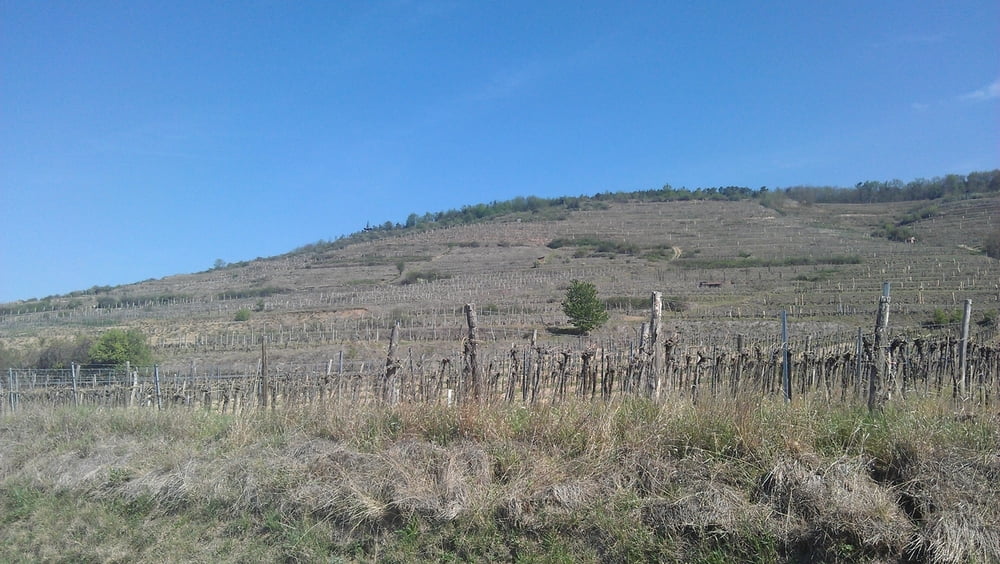
Galeria trasy

Mapa trasy i profil wysokości

  • Open Street Map
  • Google
Minimum height 153 m Maximum height 626 m Widok szczegółowy

More about the tour author

pentit
Member since 2012

Send private message

Komentarze

GPS tracks

Trackpoints
  • GPX / Garmin Map Source (gpx) download
  • TCX / Garmin Training Center® (tcx) download
  • CRS / Garmin Training Center® (crs) download
  • Google Earth (kml) download
  • G7ToWin (g7t) download
  • TTQV (trk) download
  • Overlay (ovl) download
  • Fugawi (txt) download
  • Kompass (DAV) Track (tk) download
  • Karta trasy (pdf) download
  • Original file of the author (gpx) download

More about the tour author

pentit
Member since 2012

Send private message
Share track
Add to my favorites
Remove from my favorites
Edit tags
My score
Rate
Trasa: Waldviertel Wien 22
Rodzaj: Rower górski (MTB)
Długość: 117,6 km
Evaluated on:
Czas trwania:
Day(s)
Hour(s)
Minute(s)
Ocena: Krajobraz Czynnik zadowolenia Kondycja Technika