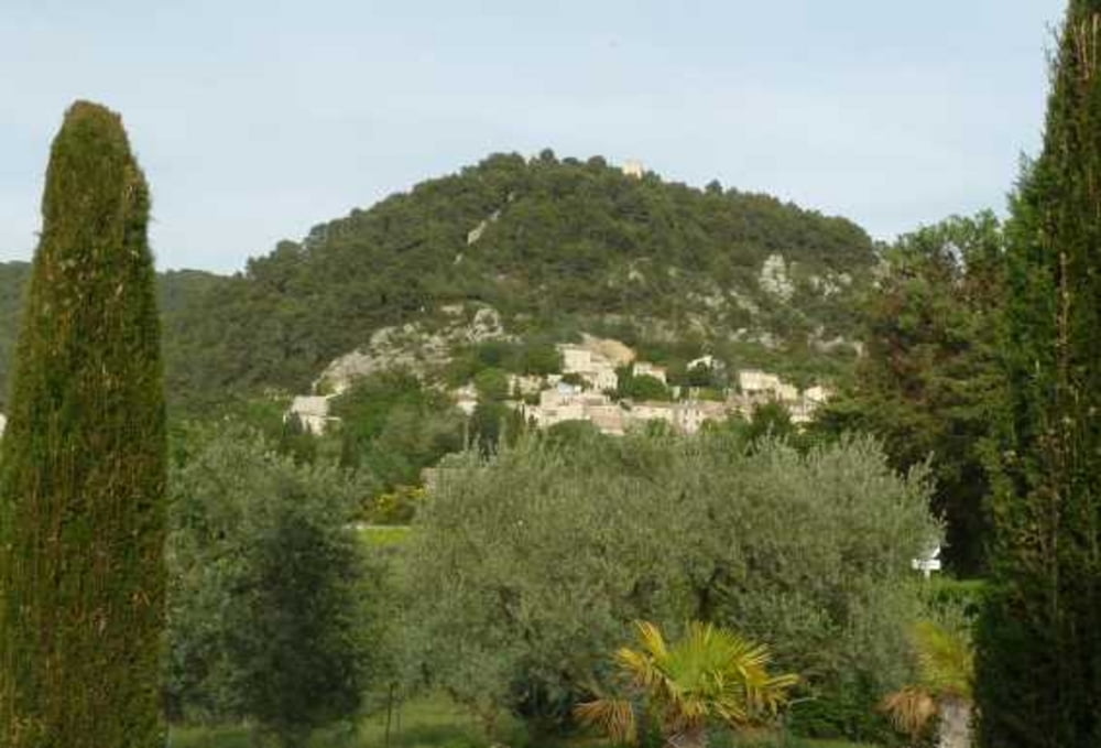
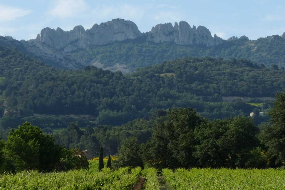
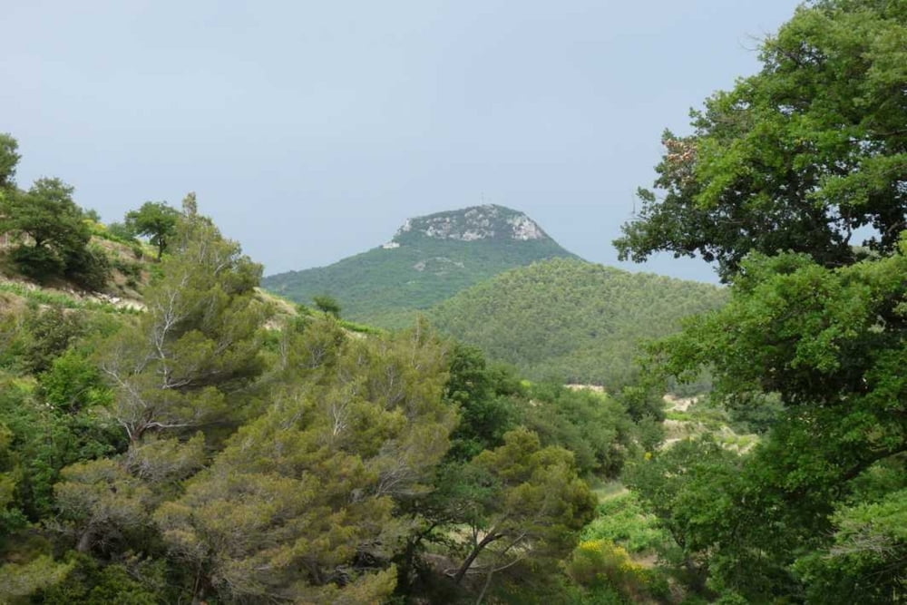
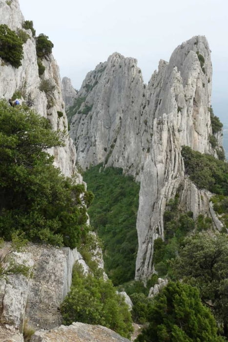
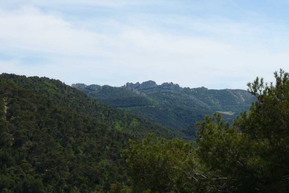
Rundwanderung ab/nach Seguret durch die Weinberge der Dentelles. Weg über befestigte Wald(Feldwege, z..T. kleine Pfade mit anspruchsvollerem Belag mit steilen An/Abstiegen
Further information at
http://de.wikipedia.org/wiki/S%C3%A9guretGaleria trasy
Mapa trasy i profil wysokości
Minimum height 225 m
Maximum height 470 m
Komentarze

Seguret über die A7 aus Norden
* Abfahrt Bollene
* Der D8 folgen über Rochegude-Cairanne bis zur D23
* Auf der D23 Richtung Sablet
* Höhe Sablet den Wegweisern Seguret folgen
* Parkplatz unterhalb Seguret als Startpunkt
Seguret über die A7 aus Süden
* Abfahrt Orange-Sud/Courthézon/Vaison-la-Romaine
* Der Route de Vaison/D950/D977 folgen bis zur D23
* Auf der D23 nach Sablet
* Höhe Sablet den Wegweisern Seguret folgen
* Parkplatz unterhalb Seguret als Startpunkt
GPS tracks
Trackpoints-
GPX / Garmin Map Source (gpx) download
-
TCX / Garmin Training Center® (tcx) download
-
CRS / Garmin Training Center® (crs) download
-
Google Earth (kml) download
-
G7ToWin (g7t) download
-
TTQV (trk) download
-
Overlay (ovl) download
-
Fugawi (txt) download
-
Kompass (DAV) Track (tk) download
-
Karta trasy (pdf) download
-
Original file of the author (gpx) download
Add to my favorites
Remove from my favorites
Edit tags
Open track
My score
Rate

