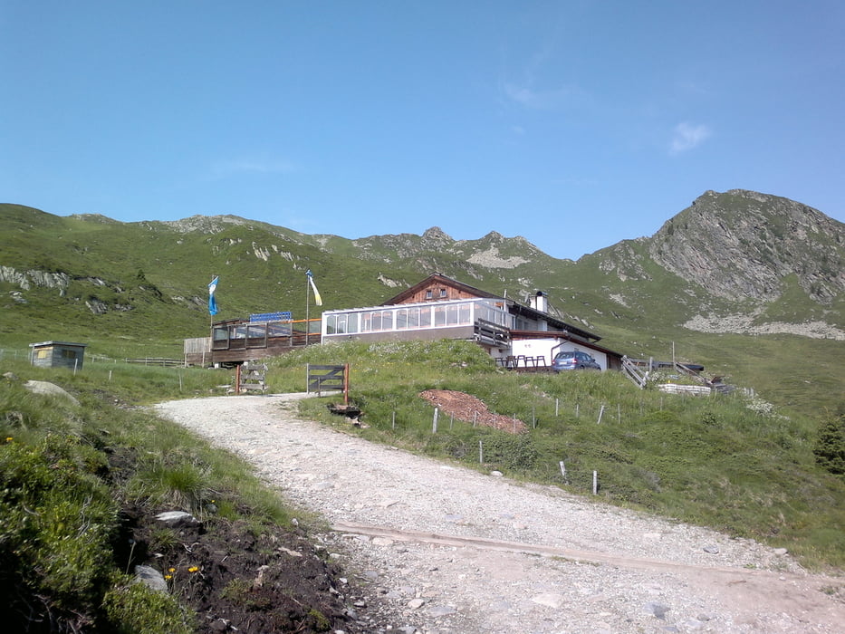
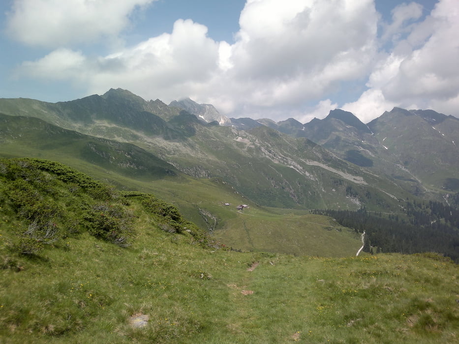
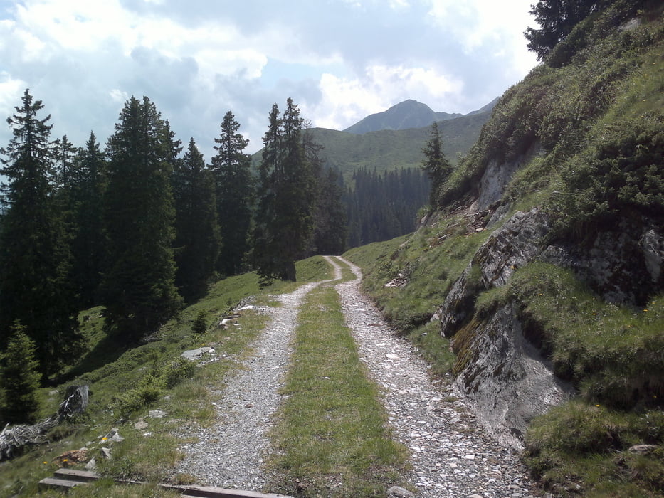
Startpunkt ist die Bergstation des Lifts in Bichl (Colle). Herrliche Wanderung über mehrere Almen (z.T. bewirtschaftet)
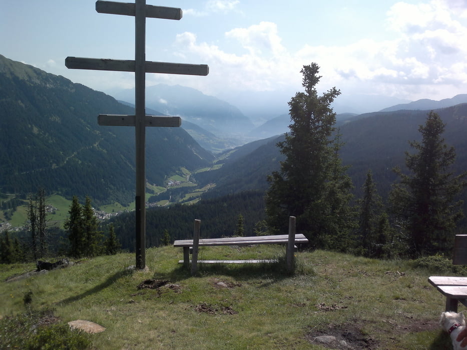
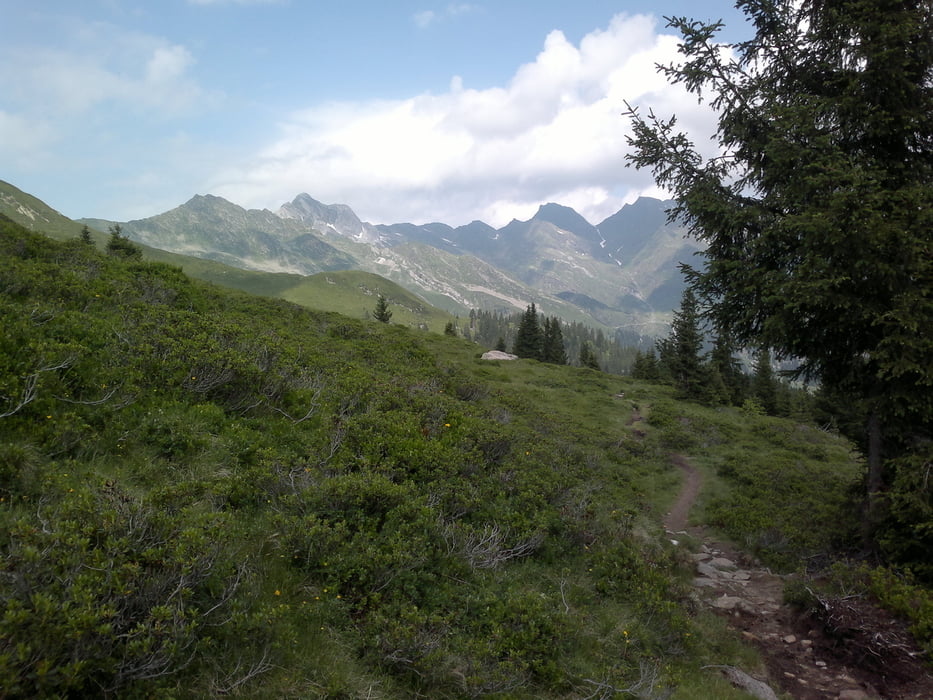
Über Almwiesen geht es durch Nadelwald entlang des Ratschingstals. Mehrere tolle Aussichtspunkte mit herrlichem Panoramablick! Nach Abstieg entlang des Ratschingser Talwegs bis zur Talstation.
Galeria trasy
Mapa trasy i profil wysokości
Minimum height 1301 m
Maximum height 1966 m
Komentarze

GPS tracks
Trackpoints-
GPX / Garmin Map Source (gpx) download
-
TCX / Garmin Training Center® (tcx) download
-
CRS / Garmin Training Center® (crs) download
-
Google Earth (kml) download
-
G7ToWin (g7t) download
-
TTQV (trk) download
-
Overlay (ovl) download
-
Fugawi (txt) download
-
Kompass (DAV) Track (tk) download
-
Karta trasy (pdf) download
-
Original file of the author (gpx) download
Add to my favorites
Remove from my favorites
Edit tags
Open track
My score
Rate

