
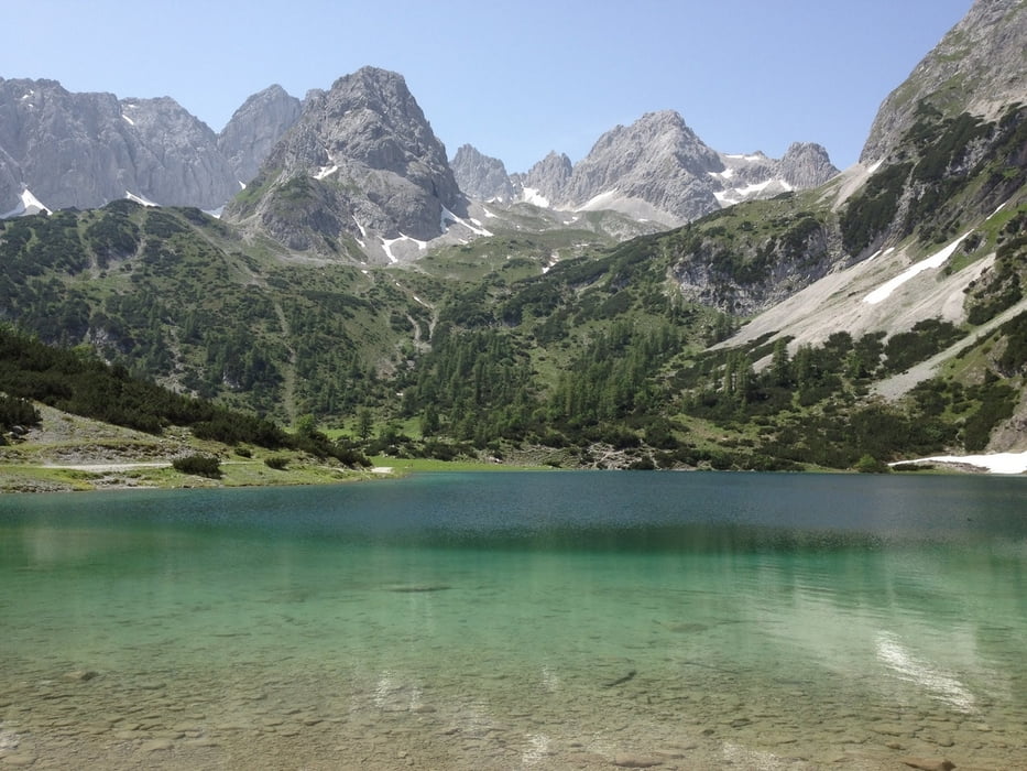

Wir fahren von Mӧsern zunaechst zum Wildmoos-See und dann Richtgung Norden zum Gaistal. Im Gaistal geht es gemutlich einer Forsstrasse bergauf. Atemberaubende Kulisse zwischen dem Wettersteingebirge und der Mieminger Gruppe. Am Fuße der Zugspitze wenden wir uns vom Wettersteingebirge ab und fahren eine Fortstrasse mit etwas steilerem Anstieg hinauf zum Seebensee. Anfang Juli hatte der gerade mal 17C. Trotzdem eine tolle Abkühlung nach dem tollen Uphill. Bei der Sebenalm (kurz vor dem Sebensee) kann man vor der Abfahrt rasten, und eine Kaaspressknoedelsuppe geniessen. Eine der schӧnsten MTB Touren, die ich kenne.
Galeria trasy


Mapa trasy i profil wysokości
Minimum height 1112 m
Maximum height 1687 m
More about the tour author
|
|
keywan |
Komentarze

GPS tracks
Trackpoints-
GPX / Garmin Map Source (gpx) download
-
TCX / Garmin Training Center® (tcx) download
-
CRS / Garmin Training Center® (crs) download
-
Google Earth (kml) download
-
G7ToWin (g7t) download
-
TTQV (trk) download
-
Overlay (ovl) download
-
Fugawi (txt) download
-
Kompass (DAV) Track (tk) download
-
Karta trasy (pdf) download
-
Original file of the author (gpx) download
More about the tour author
|
|
keywan |
Add to my favorites
Remove from my favorites
Edit tags
Open track
My score
Rate