Login

Zapomniałeś swój login?

Cookies have to be accepted!
Your browser's cookie functionality is disabled. Please enable this functionality.

Not a member yet?

Register now
Login

Available for registred users only

Log in to use this feature.

Zapomniałeś swój login?

Cookies have to be accepted!
Your browser's cookie functionality is disabled. Please enable this functionality.

Not a member yet?

Register now
Filter
Kategorie
Advanced filters
  • Długość (km)
  • Wysokość
Zapisz filtr Reset filter

TrackRank

QRCode

Technical data

Długość69,4 km Wysokość903 m Way down895 m Czas trwania05:00 h:m Data11.07.2012
Oceny Author Krajobraz Czynnik zadowolenia Kondycja Technika

Statystyka

776 Widoki Oceny 53 Downloads / Pliki do pobrania Przeciętnie
Rate
  • Karta trasy
  • Dojazd
  • Downloads / Pliki do pobrania

die ersten 30 km gut befestigte Wege - langsamer kontinuirlicher Anstieg

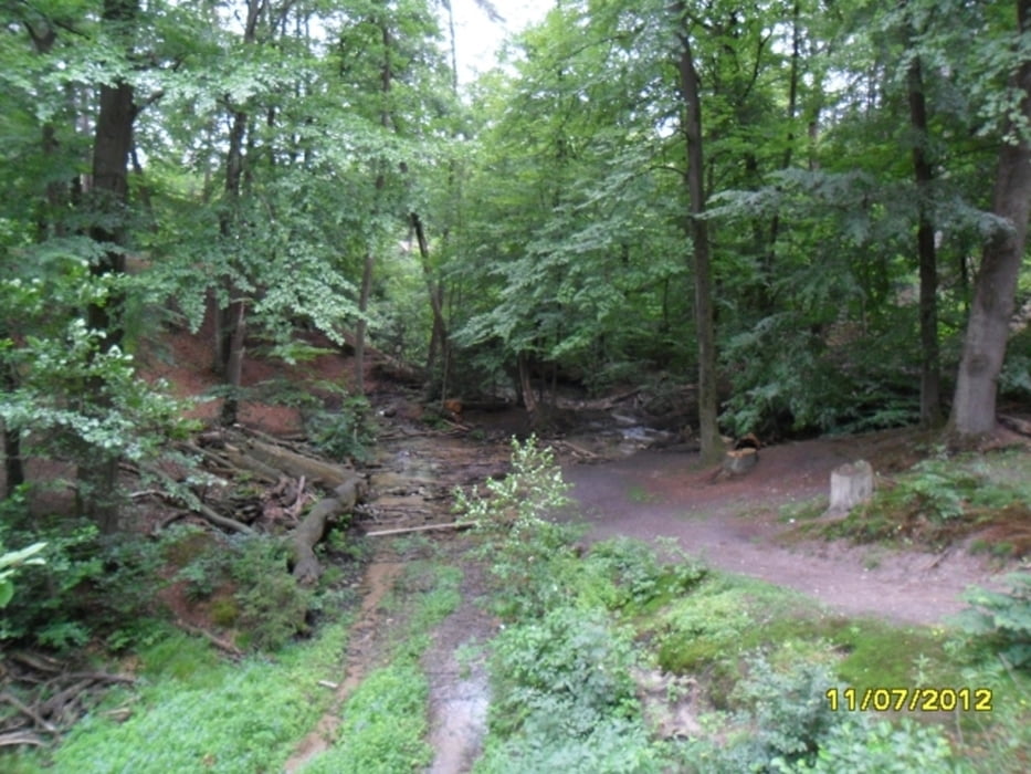
der zweite Teil beinhaltet Waldwege mit erheblichen Steigungen und Gefällen

ständig geht es hoch und runter auf kurzen Abschnitten

2 Schiebesteigungen

teilweise große Belastung der Bremsen

führt gute 25 km schön durch den Wald
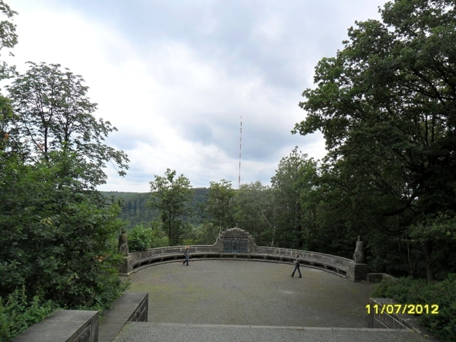
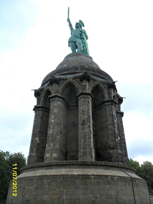
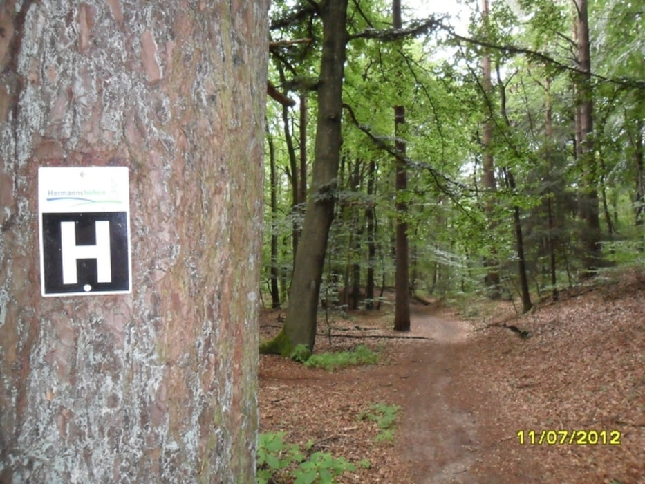
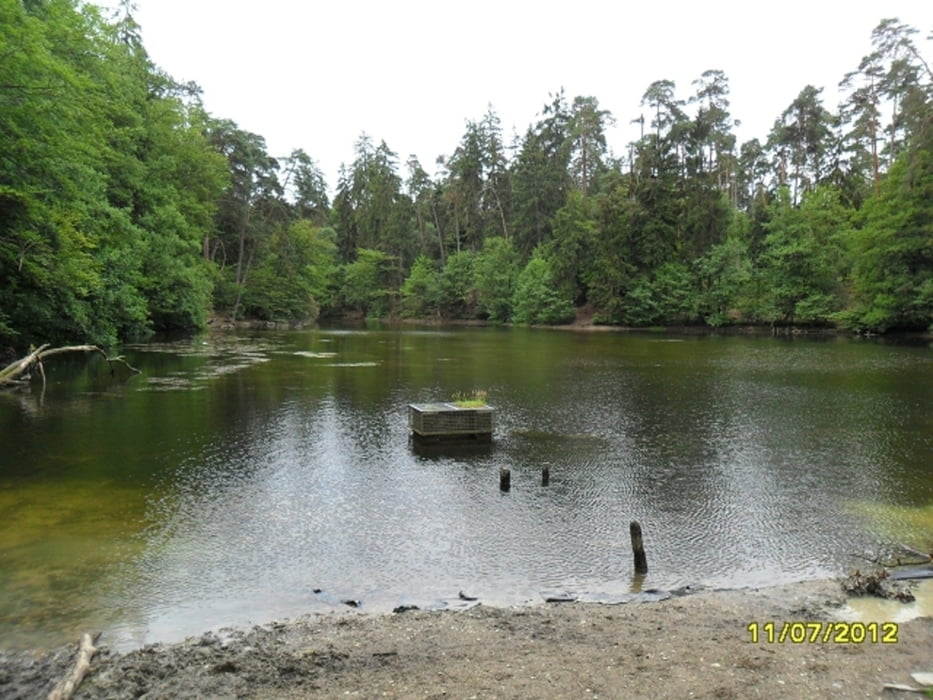
Galeria trasy

Mapa trasy i profil wysokości

  • Open Street Map
  • Google
Minimum height 101 m Maximum height 390 m Widok szczegółowy

More about the tour author

drzahnweh
Member since 2011

Send private message

Komentarze

mit der Straßenbahnlinie 1 vom HBF oder mit der Buslinie 36 von Sieker (P+R)

GPS tracks

Trackpoints
  • GPX / Garmin Map Source (gpx) download
  • TCX / Garmin Training Center® (tcx) download
  • CRS / Garmin Training Center® (crs) download
  • Google Earth (kml) download
  • G7ToWin (g7t) download
  • TTQV (trk) download
  • Overlay (ovl) download
  • Fugawi (txt) download
  • Kompass (DAV) Track (tk) download
  • Karta trasy (pdf) download
  • Original file of the author (gpx) download

More about the tour author

drzahnweh
Member since 2011

Send private message
Share track
Add to my favorites
Remove from my favorites
Edit tags
My score
Rate
Trasa: Hermannsdenkmal
Rodzaj: Rower górski (MTB)
Długość: 69,4 km
Evaluated on:
Czas trwania:
Day(s)
Hour(s)
Minute(s)
Ocena: Krajobraz Czynnik zadowolenia Kondycja Technika