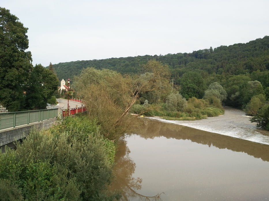
Von Rottenburg am schönen Neckar entlang mit einigen sanften Anstiegen bis Horb.
Ab Horb mit ambitionierten Anstieg über die B32 nach Haigerloch mit sehenswerter
Altstadt (Schloss). Über traumhafte Landstrassen nach Hirrlingen und Rückfahrt
nach Rottenburg.
Galeria trasy
Mapa trasy i profil wysokości
Minimum height 347 m
Maximum height 532 m
Komentarze

GPS tracks
Trackpoints-
GPX / Garmin Map Source (gpx) download
-
TCX / Garmin Training Center® (tcx) download
-
CRS / Garmin Training Center® (crs) download
-
Google Earth (kml) download
-
G7ToWin (g7t) download
-
TTQV (trk) download
-
Overlay (ovl) download
-
Fugawi (txt) download
-
Kompass (DAV) Track (tk) download
-
Karta trasy (pdf) download
-
Original file of the author (tcx) download
Add to my favorites
Remove from my favorites
Edit tags
Open track
My score
Rate


