Login

Zapomniałeś swój login?

Cookies have to be accepted!
Your browser's cookie functionality is disabled. Please enable this functionality.

Not a member yet?

Register now
Login

Available for registred users only

Log in to use this feature.

Zapomniałeś swój login?

Cookies have to be accepted!
Your browser's cookie functionality is disabled. Please enable this functionality.

Not a member yet?

Register now
Filter
Kategorie
Advanced filters
  • Długość (km)
  • Wysokość
Zapisz filtr Reset filter

TrackRank

QRCode

Technical data

Długość310,5 km Wysokość11003 m Way down11623 m Czas trwania4 days 4 h Data14.07.2012
Oceny Author Krajobraz Czynnik zadowolenia Kondycja Technika

Statystyka

755 Widoki Oceny 52 Downloads / Pliki do pobrania Przeciętnie
Rate
  • Karta trasy
  • Dojazd
  • Downloads / Pliki do pobrania

AX 2012 vom 23.06.2012 bis 27.06.2012
Anfahrt mit dem Zug in Schruns eintreffend 13:30 und dann gleich weiter nach Klosters-Dorf über das Schlappiner Joch.

Etappen: Schruns - Klosters - S-chanf - Arnoga - Prestine - Riva.
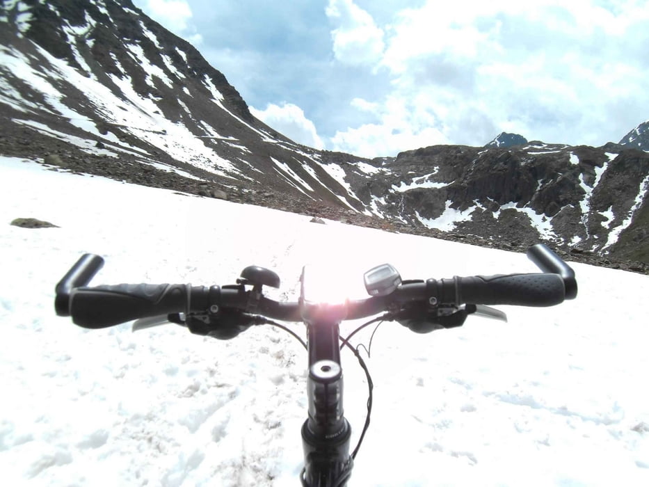
 Anmerkungen: Die Überquerung des Scaletta-Passes mit dem Rad war dieses Jahr Ende Juni wegen der vielen Schneebretter eigentlich nicht mehr lustig. Nach dem Hotel Li Arnoga geht auf gleicher Höhe ein angenehmer Weg bis zur Brücke über den Torrente Viola Bormina (Pso. Verva). Wegen Waldarbeiten musste ich aber einen kleinen Umweg machen. Von Malonno bis zum Ledro-See bin ich auf Asphalt geblieben um meinen Zeitplan einzuhalten. Im Internet finden sich Alternativen für's MTB. Schöne Tour mit überwiegend tollem Wetter, keine Panne.

Galeria trasy

Mapa trasy i profil wysokości

  • Open Street Map
  • Google
Minimum height 50 m Maximum height 2706 m Widok szczegółowy

More about the tour author

wsbl54
Member since 2009

Send private message

Komentarze

Mit der Eisenbahn bis Schruns im Montafon.

GPS tracks

Trackpoints
  • GPX / Garmin Map Source (gpx) download
  • TCX / Garmin Training Center® (tcx) download
  • CRS / Garmin Training Center® (crs) download
  • Google Earth (kml) download
  • G7ToWin (g7t) download
  • TTQV (trk) download
  • Overlay (ovl) download
  • Fugawi (txt) download
  • Kompass (DAV) Track (tk) download
  • Karta trasy (pdf) download
  • Original file of the author (gpx) download

More about the tour author

wsbl54
Member since 2009

Send private message
Share track
Add to my favorites
Remove from my favorites
Edit tags
My score
Rate
Trasa: Schruns - Riva 2012 in 5 Tagen
Rodzaj: Transalp
Długość: 310,5 km
Evaluated on:
Czas trwania:
Day(s)
Hour(s)
Minute(s)
Ocena: Krajobraz Czynnik zadowolenia Kondycja Technika