Login

Zapomniałeś swój login?

Cookies have to be accepted!
Your browser's cookie functionality is disabled. Please enable this functionality.

Not a member yet?

Register now
Login

Available for registred users only

Log in to use this feature.

Zapomniałeś swój login?

Cookies have to be accepted!
Your browser's cookie functionality is disabled. Please enable this functionality.

Not a member yet?

Register now
Filter
Kategorie
Advanced filters
  • Długość (km)
  • Wysokość
Zapisz filtr Reset filter

TrackRank

QRCode

Technical data

Długość18,5 km Wysokość632 m Way down653 m Czas trwania04:30 h:m Data14.07.2012
Oceny Author Krajobraz Czynnik zadowolenia Kondycja Technika

Statystyka

262 Widoki Oceny 27 Downloads / Pliki do pobrania Przeciętnie
Rate
  • Karta trasy
  • Dojazd
  • Downloads / Pliki do pobrania

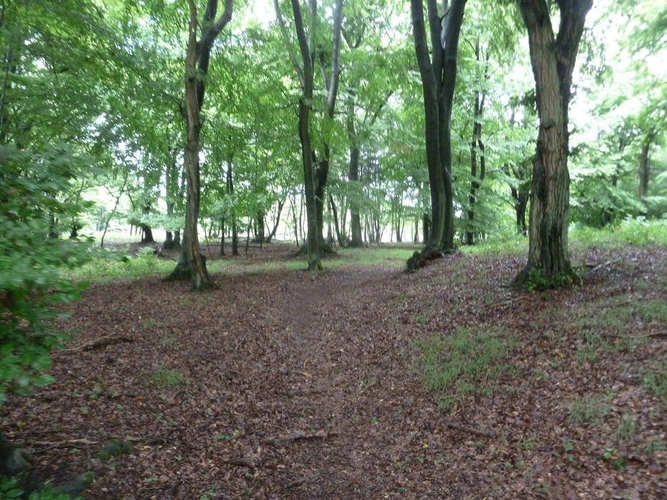
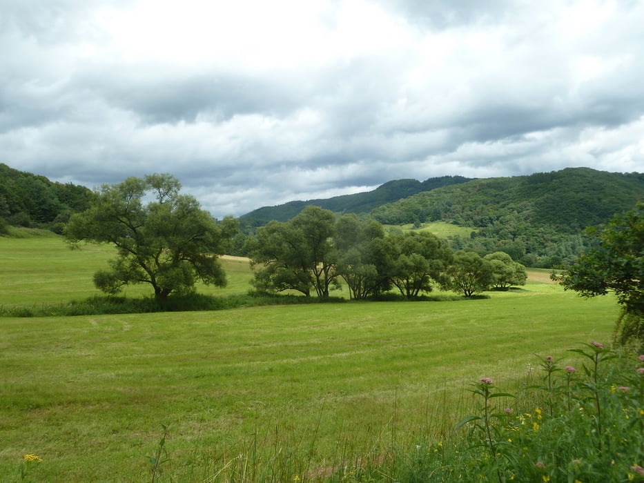
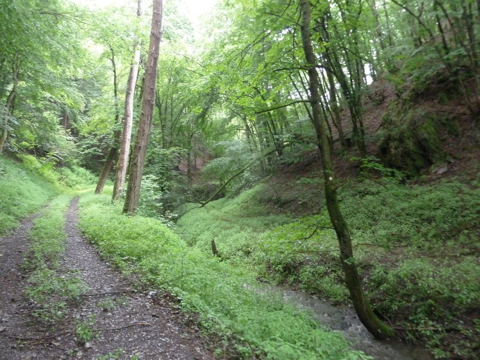
Schöne abwechslungsreiche und entspannte Tour über einsame Waldwege, Bachtäler und Höhen.

Im ersten 3.tel geht es stetig Bergauf (270HM) bis zu einem alten Römerkastell.

Dann meist Bergab.


Galeria trasy

Mapa trasy i profil wysokości

  • Open Street Map
  • Google
Minimum height 87 m Maximum height 367 m Widok szczegółowy

More about the tour author

koelner1977
Member since 2012

Send private message

Komentarze

Start / Ziel Wanderparklatz an der Wiedbrücke in Datzeroth

56589 Datzeroth, Am Schulberg


GPS tracks

Trackpoints
  • GPX / Garmin Map Source (gpx) download
  • TCX / Garmin Training Center® (tcx) download
  • CRS / Garmin Training Center® (crs) download
  • Google Earth (kml) download
  • G7ToWin (g7t) download
  • TTQV (trk) download
  • Overlay (ovl) download
  • Fugawi (txt) download
  • Kompass (DAV) Track (tk) download
  • Karta trasy (pdf) download
  • Original file of the author (gpx) download

More about the tour author

koelner1977
Member since 2012

Send private message
Share track
Add to my favorites
Remove from my favorites
Edit tags
My score
Rate
Trasa: Von Datzeroth an der Wied zu Solscheider Kapelle aus Rother Wanderführer "Westerwald" Nr. 42
Rodzaj: Rower górski (MTB)
Długość: 18,5 km
Evaluated on:
Czas trwania:
Day(s)
Hour(s)
Minute(s)
Ocena: Krajobraz Czynnik zadowolenia Kondycja Technika