


Die Tour entspricht in groben Zügen der beschriebenen Tour Wtzmann-Mont Blanc von Günter Zahn. Zu der Tpur wurden noch einige Pässe hinzugefügt, so dass insgesamt gute 30.000 hm und 1100 km bewältigt werden.
Start: Berchtesgaden-Hintersee
1. Etappe:-Hirschbichlpass-Römersattel-Fieberbrunn-Lämmerbichelalm-Kitzbühel:
2. Etappe: Kitzbühel-Hahnenkamm-Pengelstein-StangenJoch-Wildkogel-Neukirchen a. Venediger.
3.Etappe: Neukirchen-Gerloßpass-Mayerhofen-Pitscher Joch
4.Eatappe Pfitscher Joch-Sterzing-PasaierTal-Schneebergscharte-Schneeberghütte
5. Etappe: Schneebergscharte-Moos-Eisjöchl-Naturns-Vinschgau
6.Etappe: Vinschgau- Stilfzer Joch über lange Trails und Forstwege. Teerstr. erst ab Keere 43-Umbrailpass
7.Etappe: wegen schlechten wetters nur bis über Boccette die Forccola zum Rif.Rafaele am Cancano See
8.Etappe: Cancano See-Passo Viola-Poschiavo Passo Cancano - Rif.
9.Etappe. Chiesa- Passo Murretti-Maloja-Comosee
10.Etappe: Como see- Lugano-See
11.Etappe: Lugano-via lago Maggiore- Lago D'Orta
12. Etappe: Lago 'Dorta - Scopello- Aosta
13. Etappe: Aostatal-Fentre Champocher-Morgex
14.Etappe: Morgex - Thuile-Col de Shavanne- Courmayour
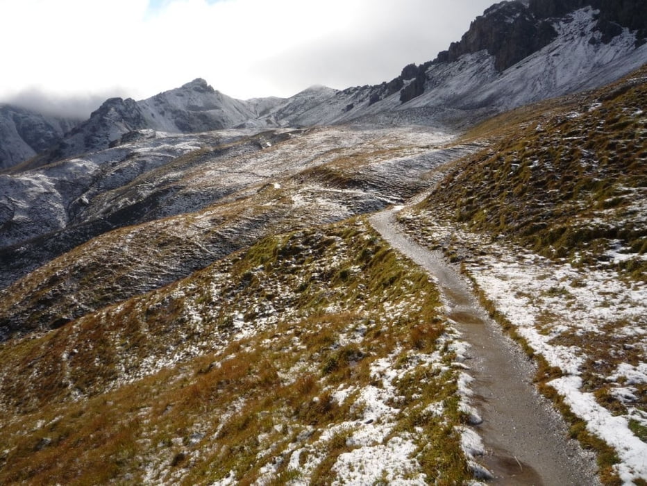
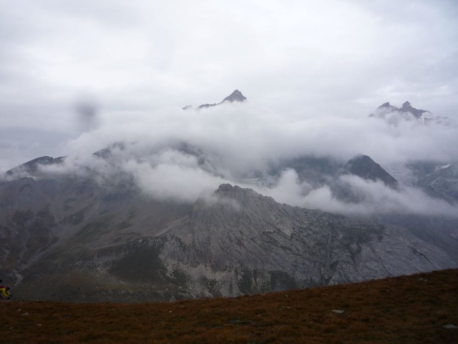
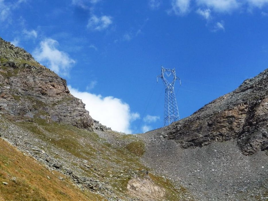
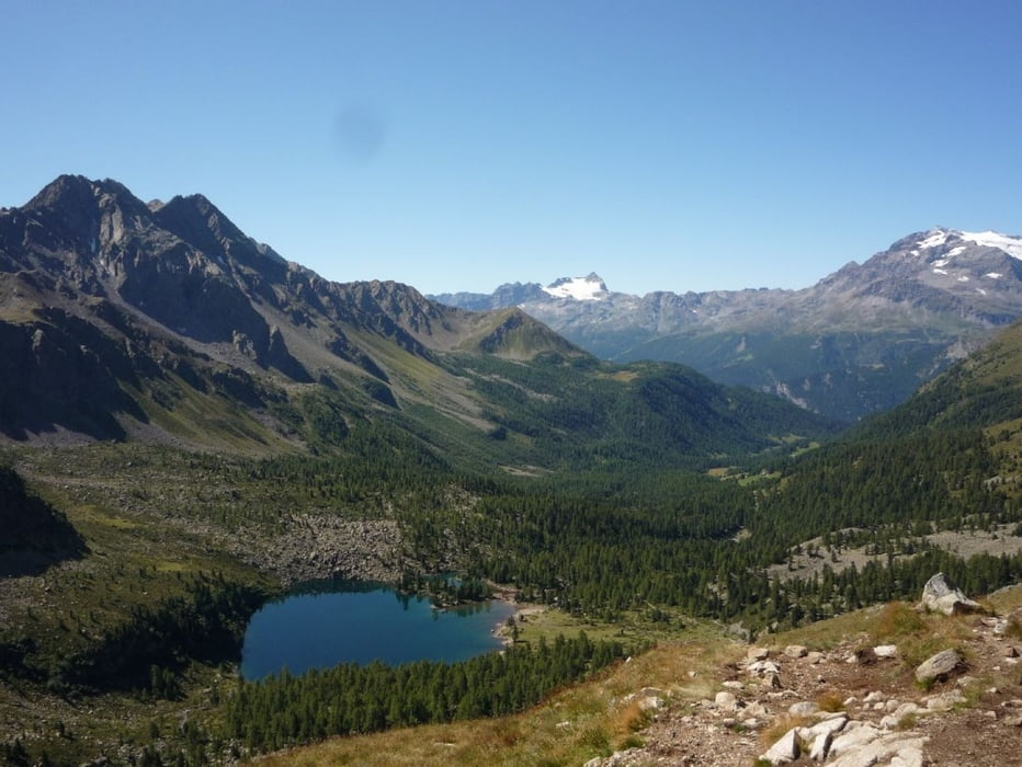
Galeria trasy
Mapa trasy i profil wysokości
Minimum height 180 m
Maximum height 2894 m
More about the tour author

|
rennelch |
Komentarze

GPS tracks
Trackpoints-
GPX / Garmin Map Source (gpx) download
-
TCX / Garmin Training Center® (tcx) download
-
CRS / Garmin Training Center® (crs) download
-
Google Earth (kml) download
-
G7ToWin (g7t) download
-
TTQV (trk) download
-
Overlay (ovl) download
-
Fugawi (txt) download
-
Kompass (DAV) Track (tk) download
-
Karta trasy (pdf) download
-
Original file of the author (gpx) download
More about the tour author
|
|
rennelch |
Add to my favorites
Remove from my favorites
Edit tags
Open track
My score
Rate