


Abruzzencross von Isola del Gran Sasso zum Lago di Fiastra
Etappe 5
Startpunkt: Beginn des Lago di Campotosto
Am Lago entlang nach Amatrice und weiter in die Monti Sibillini
Auf der Provinzstraße 577 nach Amatrice radeln. Von hier auf einer Nebenstraße nach Accumoli fahren. Da wir entsprechend einem Bericht in der Mountainbike gefahren sind, verläuft der GPS-Track weiter über Villanova und ein ausgetrocknetes Bachbett und über den Passo dei Pantani zum Forca Canapine. Im ausgetrockneten Bachbett muß man aber 1 Stunde zum Teil durch Macchia und Unterholz schieben. Wir empfehlen daher ab Accumoli nicht mehr dem GPS-Track zu folgen, sondern auf der Straße über Tufo und Capodacqua zum Forca Canapine zu fahren. Dann weiter auf GPS-Track bis Castelluccio um die letzte Etappe 6 zu verkürzen.
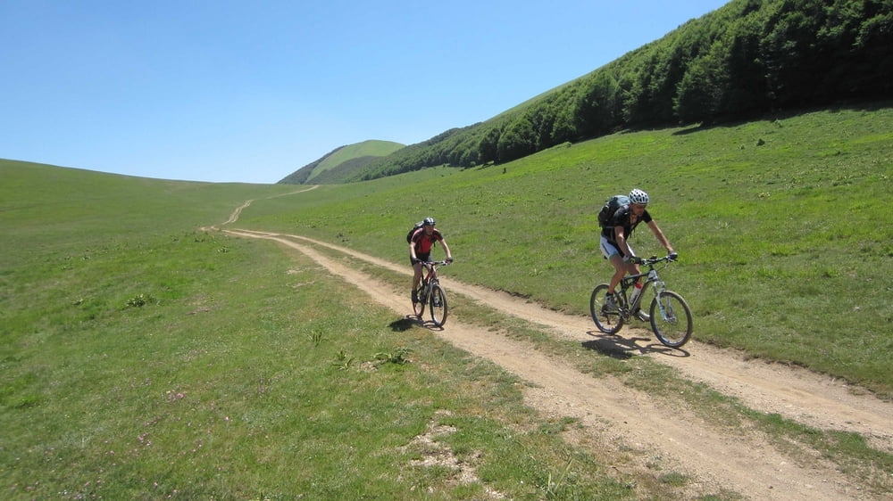
Galeria trasy


Mapa trasy i profil wysokości
Minimum height 750 m
Maximum height 1634 m
More about the tour author
|
|
RudolfTill |
Komentarze

Anfahrt:
Siehe Abruzzencross Etappe 4
Siehe Abruzzencross Etappe 4
GPS tracks
Trackpoints-
GPX / Garmin Map Source (gpx) download
-
TCX / Garmin Training Center® (tcx) download
-
CRS / Garmin Training Center® (crs) download
-
Google Earth (kml) download
-
G7ToWin (g7t) download
-
TTQV (trk) download
-
Overlay (ovl) download
-
Fugawi (txt) download
-
Kompass (DAV) Track (tk) download
-
Karta trasy (pdf) download
-
Original file of the author (gpx) download
More about the tour author
|
|
RudolfTill |
Add to my favorites
Remove from my favorites
Edit tags
Open track
My score
Rate