Login

Zapomniałeś swój login?

Cookies have to be accepted!
Your browser's cookie functionality is disabled. Please enable this functionality.

Not a member yet?

Register now
Login

Available for registred users only

Log in to use this feature.

Zapomniałeś swój login?

Cookies have to be accepted!
Your browser's cookie functionality is disabled. Please enable this functionality.

Not a member yet?

Register now
Filter
Kategorie
Advanced filters
  • Długość (km)
  • Wysokość
Zapisz filtr Reset filter

TrackRank

QRCode

Technical data

Długość29,8 km Wysokość643 m Way down653 m Czas trwania00:00 h:m Data17.07.2012
Oceny Author Krajobraz Czynnik zadowolenia Kondycja Technika

Statystyka

1557 Widoki Oceny 125 Downloads / Pliki do pobrania Przeciętnie
Rate
  • Karta trasy
  • Dojazd
  • Downloads / Pliki do pobrania


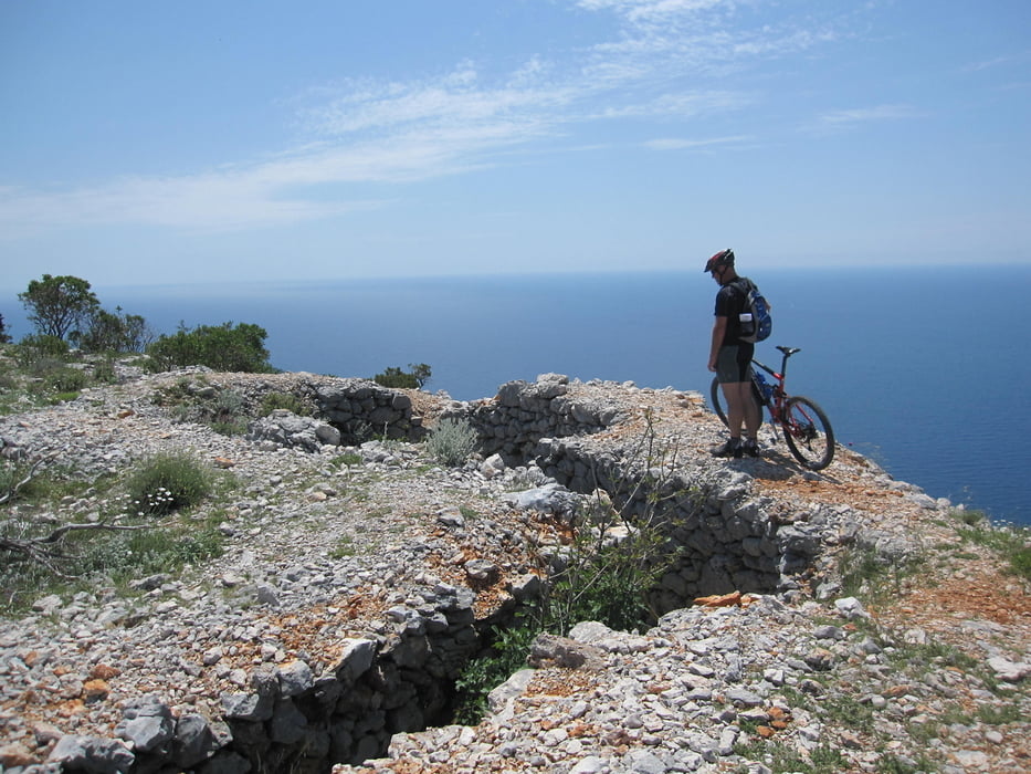
Die meiste Zeit leichter Weg. Jedoch auf den Hausberg gehts in die Beine und bei

der Runterfahrt ist Technik angesagt bei den vielen Serbentinerkurven!

Spassfaktor garantiert mit ausweichenden Wanderern =:o)


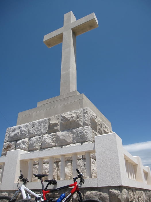
Am Anfang haben wir es von links her versucht auf den Hausberg! Dies ist aber gescheitert und daher sind wir wieder runter auf die Hauptstrasse. Wer also nicht das Fahrrad schieben möchte fährt auf der Hauptstrasse unten durch und geht nicht wie wir über das kleine Dörfchen.

Galeria trasy

Mapa trasy i profil wysokości

  • Open Street Map
  • Google
Minimum height 2 m Maximum height 412 m Widok szczegółowy

More about the tour author

zoetteler
Member since 2011

Send private message

Komentarze

GPS tracks

Trackpoints
  • GPX / Garmin Map Source (gpx) download
  • TCX / Garmin Training Center® (tcx) download
  • CRS / Garmin Training Center® (crs) download
  • Google Earth (kml) download
  • G7ToWin (g7t) download
  • TTQV (trk) download
  • Overlay (ovl) download
  • Fugawi (txt) download
  • Kompass (DAV) Track (tk) download
  • Karta trasy (pdf) download
  • Original file of the author (gpx) download

More about the tour author

zoetteler
Member since 2011

Send private message
Share track
Add to my favorites
Remove from my favorites
Edit tags
My score
Rate
Trasa: Rundfahrt Dubrovnik inkl. Husberg Srd
Rodzaj: Rower górski (MTB)
Długość: 29,8 km
Evaluated on:
Czas trwania:
Day(s)
Hour(s)
Minute(s)
Ocena: Krajobraz Czynnik zadowolenia Kondycja Technika