Login

Zapomniałeś swój login?

Cookies have to be accepted!
Your browser's cookie functionality is disabled. Please enable this functionality.

Not a member yet?

Register now
Login

Available for registred users only

Log in to use this feature.

Zapomniałeś swój login?

Cookies have to be accepted!
Your browser's cookie functionality is disabled. Please enable this functionality.

Not a member yet?

Register now
Filter
Kategorie
Advanced filters
  • Długość (km)
  • Wysokość
Zapisz filtr Reset filter

TrackRank

QRCode

Technical data

Długość17,8 km Wysokość924 m Way down411 m Czas trwania02:30 h:m Data21.07.2012
Oceny Author Krajobraz Czynnik zadowolenia Kondycja Technika

Statystyka

623 Widoki Oceny 83 Downloads / Pliki do pobrania Przeciętnie
Rate
  • Karta trasy
  • Dojazd
  • Downloads / Pliki do pobrania
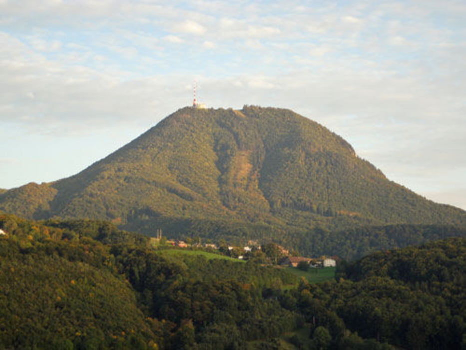
Gaisbergrunde - besonders bei Regenwetter dirtlastige Tour, hauptsächlich Schotter, Single Trail und Waldwege. Die Tour startet an der Linzer Bundesstrasse, führt über den Dax Lueg, Heuberg, Schwaighofen, Koppl, Nockstein, Oberwinkel auf die Zistel. Downhill nicht inkludiert ;).

Mapa trasy i profil wysokości

  • Open Street Map
  • Google
Minimum height 433 m Maximum height 953 m Widok szczegółowy

More about the tour author

Rstone
Member since 2010

Send private message

Komentarze

Start an der Kreuzung Linzer Bundesstrasse und Bachstrasse. Drei Eichenweg geht nach Bushaltestelle Bachstrasse rechts ab.

GPS tracks

Trackpoints
  • GPX / Garmin Map Source (gpx) download
  • TCX / Garmin Training Center® (tcx) download
  • CRS / Garmin Training Center® (crs) download
  • Google Earth (kml) download
  • G7ToWin (g7t) download
  • TTQV (trk) download
  • Overlay (ovl) download
  • Fugawi (txt) download
  • Kompass (DAV) Track (tk) download
  • Karta trasy (pdf) download
  • Original file of the author (gpx) download

More about the tour author

Rstone
Member since 2010

Send private message
Share track
Add to my favorites
Remove from my favorites
Edit tags
My score
Rate
Trasa: Gaisbergrunde Dirt I
Rodzaj: Rower górski (MTB)
Długość: 17,8 km
Evaluated on:
Czas trwania:
Day(s)
Hour(s)
Minute(s)
Ocena: Krajobraz Czynnik zadowolenia Kondycja Technika