


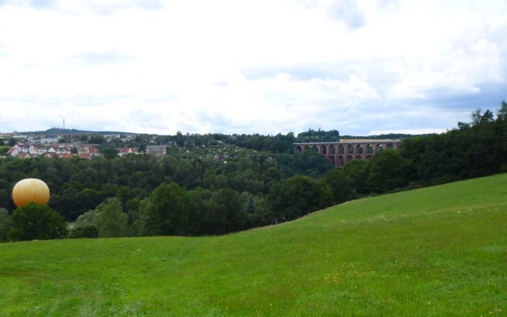
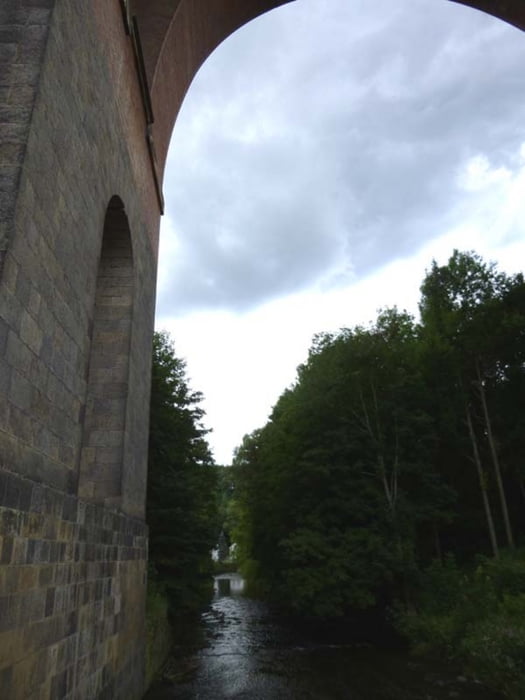
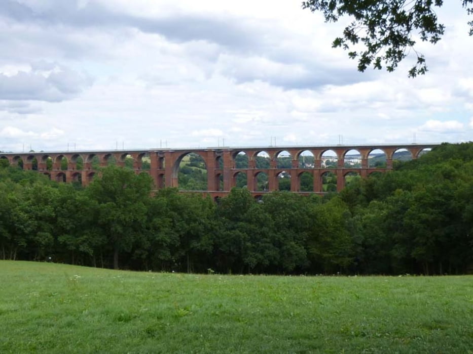
Route: Ebersbrunn > Lichtentanne > Neumark > Steilabfahrt Mylau > Göltzschtal > Rotschau > Heinsdorf > Ebersbrunn
Ausführliche Beschreibung der Route in http://www.wolf-klepzig.de/hp/rad/Kleine_Rundfahrt_Goeltzsch-Heinsdorfergrund.pdf.
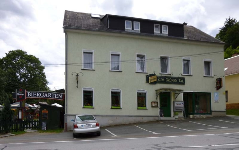
Weitere Informationen an den Wegpunkten (Parken, Gastronomie, Besonderheiten).
Further information at
http://www.wolf-klepzig.de/hp/rad.htmGaleria trasy
Mapa trasy i profil wysokości
Minimum height 302 m
Maximum height 468 m
More about the tour author

|
klegpst |
Komentarze

Anfahrt:
Von der A4 über die B93 durch Zwickau Richtung A72 bis Ebersbrunn kurz vor A72-Anschlussstelle Zwickau-West, nach Fertigstellung über die neue Mitteltrasse.
Von Anschlussstelle Zwickau-West der A72 kurzes Stück Richtung Kirchberg. Nach 200 m links Richtung Zwickau/Ebersbrunn auf Lengenfelder Straße bis zur Ampel in Ebersbrunn. Dort links bergab, über die Gleise und an der Gabelung rechts.
Zieleingabe für Routenplaner, z. B. Google Earth: 08144 Lichtentanne, OT Ebersbrunn, Werdauer Straße 2 bzw. die Koordinaten N50 39 33.8 E12 26 17.8. Koordinateneingaben in Google Earth und Google Maps ohne Einheiten für Grad, Winkelminute und Winkelsekunde!
Parken: Am Straßenrand der Werdauer Straße parken.
GPS tracks
Trackpoints-
GPX / Garmin Map Source (gpx) download
-
TCX / Garmin Training Center® (tcx) download
-
CRS / Garmin Training Center® (crs) download
-
Google Earth (kml) download
-
G7ToWin (g7t) download
-
TTQV (trk) download
-
Overlay (ovl) download
-
Fugawi (txt) download
-
Kompass (DAV) Track (tk) download
-
Karta trasy (pdf) download
-
Original file of the author (gpx) download
More about the tour author
|
|
klegpst |
Add to my favorites
Remove from my favorites
Edit tags
Open track
My score
Rate