Login

Zapomniałeś swój login?

Cookies have to be accepted!
Your browser's cookie functionality is disabled. Please enable this functionality.

Not a member yet?

Register now
Login

Available for registred users only

Log in to use this feature.

Zapomniałeś swój login?

Cookies have to be accepted!
Your browser's cookie functionality is disabled. Please enable this functionality.

Not a member yet?

Register now
Filter
Kategorie
Advanced filters
  • Długość (km)
  • Wysokość
Zapisz filtr Reset filter

TrackRank

QRCode

Technical data

Długość43,4 km Wysokość919 m Way down929 m Czas trwania02:30 h:m Data22.07.2012
Oceny Author Krajobraz Czynnik zadowolenia Kondycja Technika

Statystyka

201 Widoki Oceny 32 Downloads / Pliki do pobrania Przeciętnie
Rate
  • Karta trasy
  • Dojazd
  • Downloads / Pliki do pobrania
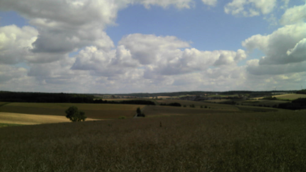
Nette Runde hauptsächlich auf Forst- und Landwirtschaftswegen, aber auch mit einigen netten Trailstücken teils im Wald und teilweise durch die freie Natur mit schönen Panoramablicken über den Guttenberger Wald bis zum Schwanberg.

Mapa trasy i profil wysokości

  • Open Street Map
  • Google
Minimum height 312 m Maximum height 469 m Widok szczegółowy

More about the tour author

kamrehn
Member since 2010

Send private message

Komentarze

GPS tracks

Trackpoints
  • GPX / Garmin Map Source (gpx) download
  • TCX / Garmin Training Center® (tcx) download
  • CRS / Garmin Training Center® (crs) download
  • Google Earth (kml) download
  • G7ToWin (g7t) download
  • TTQV (trk) download
  • Overlay (ovl) download
  • Fugawi (txt) download
  • Kompass (DAV) Track (tk) download
  • Karta trasy (pdf) download
  • Original file of the author (gpx) download

More about the tour author

kamrehn
Member since 2010

Send private message
Share track
Add to my favorites
Remove from my favorites
Edit tags
My score
Rate
Trasa: Große Runde um Kleinrinderfeld
Rodzaj: Rower górski (MTB)
Długość: 43,4 km
Evaluated on:
Czas trwania:
Day(s)
Hour(s)
Minute(s)
Ocena: Krajobraz Czynnik zadowolenia Kondycja Technika