Login

Zapomniałeś swój login?

Cookies have to be accepted!
Your browser's cookie functionality is disabled. Please enable this functionality.

Not a member yet?

Register now
Login

Available for registred users only

Log in to use this feature.

Zapomniałeś swój login?

Cookies have to be accepted!
Your browser's cookie functionality is disabled. Please enable this functionality.

Not a member yet?

Register now
Filter
Kategorie
Advanced filters
  • Długość (km)
  • Wysokość
Zapisz filtr Reset filter

TrackRank

QRCode

Technical data

Długość35,0 km Wysokość725 m Way down703 m Czas trwania03:50 h:m Data24.07.2012
Oceny Author Krajobraz Czynnik zadowolenia Kondycja Technika

Statystyka

835 Widoki Oceny 172 Downloads / Pliki do pobrania Przeciętnie
Rate
  • Karta trasy
  • Dojazd
  • Downloads / Pliki do pobrania

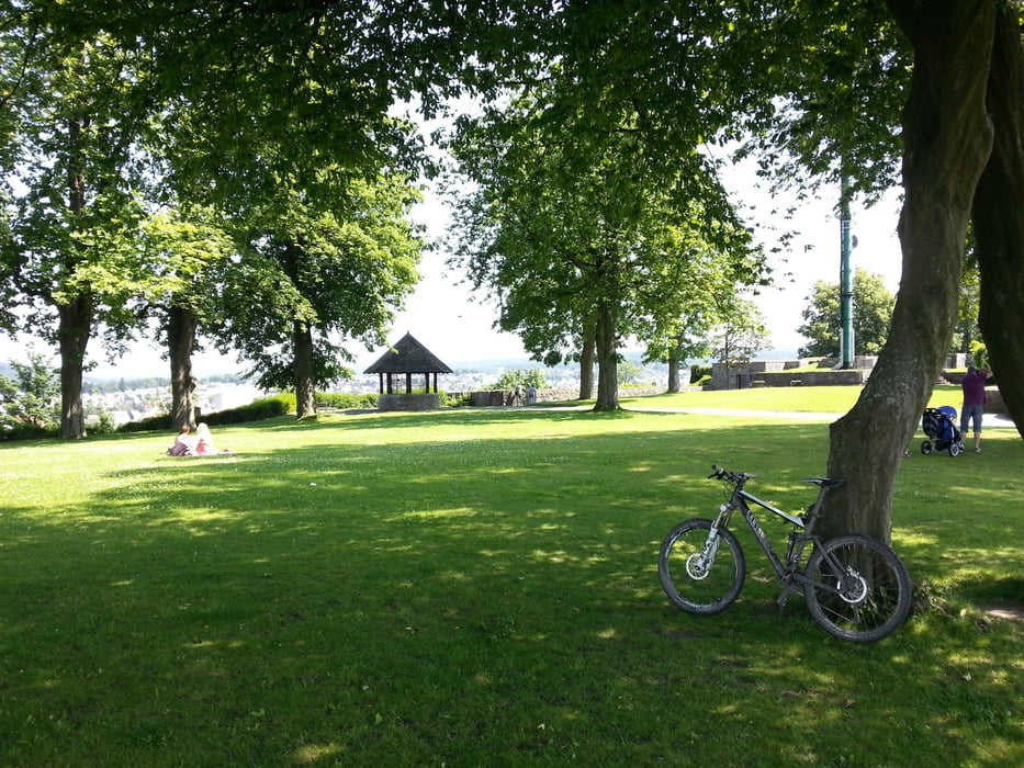
Der Strat befindet sich am Arnsberger Neumarkt.

Die Tour wird im Uhrzeigersinn gefahren.

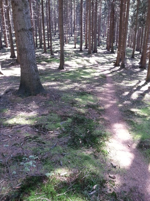
Ich kannte das gesamte Gebiet vorher nicht. Aber nichts desto trotz recht interessant.

Da ich mich öfters orientieren musste kann ich keine genaue Zeitangabe für die Tour machen.

Ich denke aber das Sie in ca. 3:50 h zu bewältigen ist!

Solltet ihr die Tour fahren wünsche ich euch viel Spaß dabei ;-)
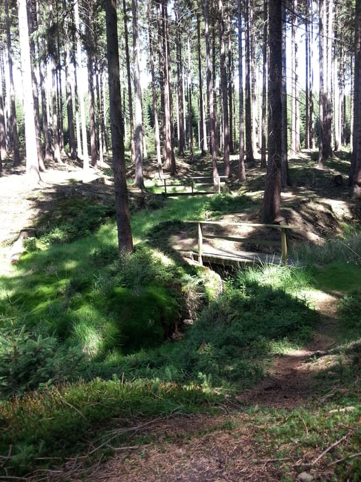
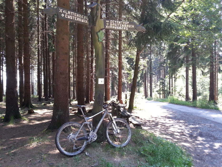
Galeria trasy

Mapa trasy i profil wysokości

  • Open Street Map
  • Google
Minimum height 265 m Maximum height 480 m Widok szczegółowy

More about the tour author

Tolicanyon
Member since 2012

Send private message

Komentarze

GPS tracks

Trackpoints
  • GPX / Garmin Map Source (gpx) download
  • TCX / Garmin Training Center® (tcx) download
  • CRS / Garmin Training Center® (crs) download
  • Google Earth (kml) download
  • G7ToWin (g7t) download
  • TTQV (trk) download
  • Overlay (ovl) download
  • Fugawi (txt) download
  • Kompass (DAV) Track (tk) download
  • Karta trasy (pdf) download
  • Original file of the author (gpx) download

More about the tour author

Tolicanyon
Member since 2012

Send private message
Share track
Add to my favorites
Remove from my favorites
Edit tags
My score
Rate
Trasa: 7 Trails auf 35 km
Rodzaj: Rower górski (MTB)
Długość: 35,0 km
Evaluated on:
Czas trwania:
Day(s)
Hour(s)
Minute(s)
Ocena: Krajobraz Czynnik zadowolenia Kondycja Technika