Breda - Utrecht
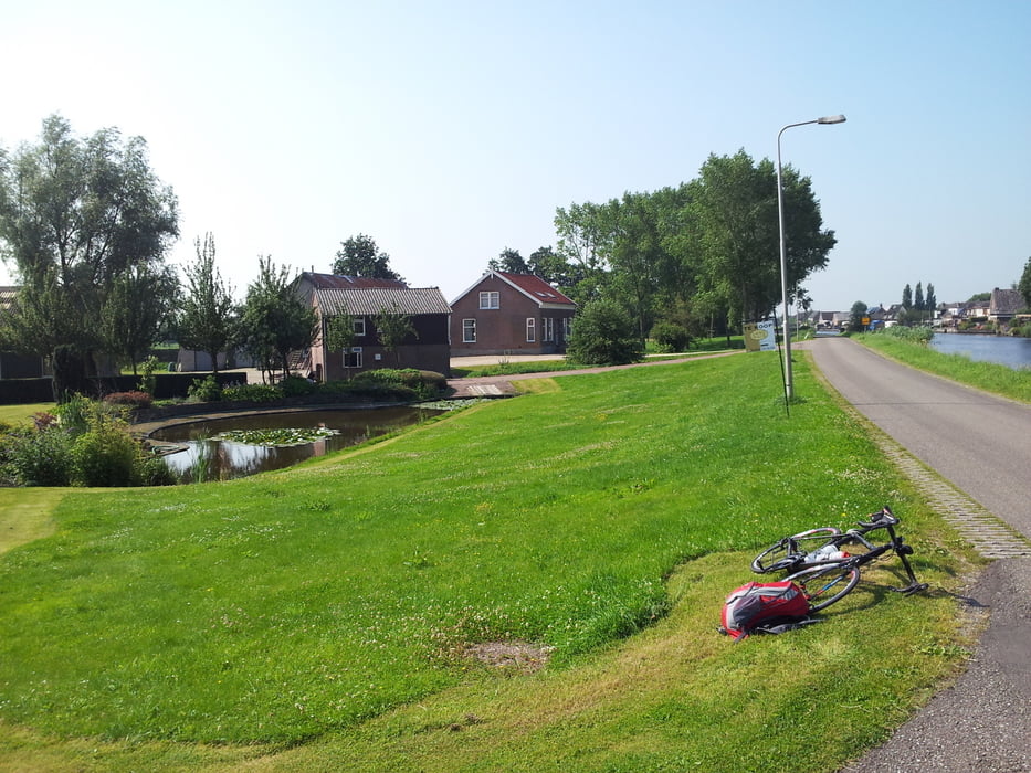
Most of this cycling tour is really fun and leads along smooth and nicely situated cycling paths (the only exception is a piece of approx. 10 km length, which is parallel to the motorway) and beautiful canals from Breda to Utrecht. At about 12 km before the arrival in Utrecht, a ferry boat was used in order to cross a canal near Vianen.
Galeria trasy
Mapa trasy i profil wysokości
Minimum height -21 m
Maximum height 15 m
Komentarze

GPS tracks
Trackpoints-
GPX / Garmin Map Source (gpx) download
-
TCX / Garmin Training Center® (tcx) download
-
CRS / Garmin Training Center® (crs) download
-
Google Earth (kml) download
-
G7ToWin (g7t) download
-
TTQV (trk) download
-
Overlay (ovl) download
-
Fugawi (txt) download
-
Kompass (DAV) Track (tk) download
-
Karta trasy (pdf) download
-
Original file of the author (gpx) download
Add to my favorites
Remove from my favorites
Edit tags
Open track
My score
Rate


