

Thumersbach-Viehofen-Geierkogel-Schönleiten Hütte-
Panoramaalm-Reiterkogel-Hasenauer Köpfl-Rosswald Hütte-
Gh Sonnhof
An sich schöne Strecke, allerdings ist auf Schritt und Tritt der Tourismus spürbar.
Sie tun im Sommer so, als ob es Winter wär: Dummschlagermusik, horrende Preise.Saalbach-Hinterglemm ist außerdem ein Downhill-Paradies - auch nicht mein Publikum.
Zum Schluss hab ich noch eine Wirtin getroffen, die mir dringend rät, gleich eine Übernachtung zu suchen.
Schlechtwetter und 17 Uhr! Gut, dass ich ihr gefolgt hab.
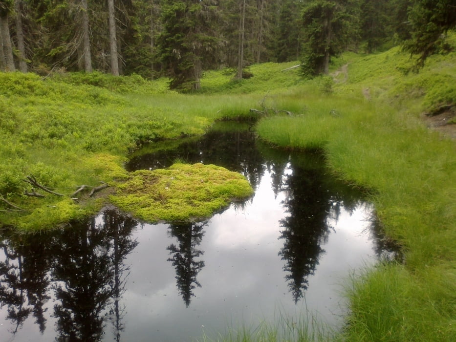
Galeria trasy


Mapa trasy i profil wysokości
Minimum height 761 m
Maximum height 1888 m
More about the tour author
|
|
mitter |
Komentarze

Abfahrt in Thumersbach.
GPS tracks
Trackpoints-
GPX / Garmin Map Source (gpx) download
-
TCX / Garmin Training Center® (tcx) download
-
CRS / Garmin Training Center® (crs) download
-
Google Earth (kml) download
-
G7ToWin (g7t) download
-
TTQV (trk) download
-
Overlay (ovl) download
-
Fugawi (txt) download
-
Kompass (DAV) Track (tk) download
-
Karta trasy (pdf) download
-
Original file of the author (gpx) download
More about the tour author
|
|
mitter |
Add to my favorites
Remove from my favorites
Edit tags
Open track
My score
Rate