

Gh Sonnhof-Forsthofalm-Saalalm-Saaljoch-Oberkaseralm-
Niederkaseralm-Jochberg
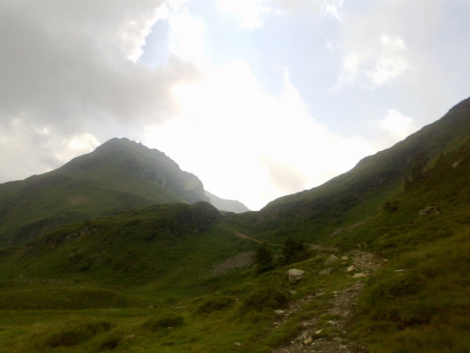
Die Schiebung Rg. Spieleckkogel gibt der Tour den Namen. Weg vom großen Touristenstrom - das tut gut. Saalalm sehr zu empfehlen: Kaspressknödel + Aussicht. Auch zum Saaljoch wieder einiges zu schieben (halbe Std), aber es zahlt sich aus: toller Übergang und dann tut sich eine neue, großartige Gipfelwelt auf. Leider ging sich der nächste Berg zeitlich nicht mehr aus,
angeblich keine Übernachtungsmöglichkeit im Gebirge.
Galeria trasy


Mapa trasy i profil wysokości
Minimum height 870 m
Maximum height 1869 m
More about the tour author
|
|
mitter |
Komentarze

Abfahrt vom Gasthof Sonnhof. (schickes Quartier oberhalb von Hinterglemm)
GPS tracks
Trackpoints-
GPX / Garmin Map Source (gpx) download
-
TCX / Garmin Training Center® (tcx) download
-
CRS / Garmin Training Center® (crs) download
-
Google Earth (kml) download
-
G7ToWin (g7t) download
-
TTQV (trk) download
-
Overlay (ovl) download
-
Fugawi (txt) download
-
Kompass (DAV) Track (tk) download
-
Karta trasy (pdf) download
-
Original file of the author (gpx) download
More about the tour author
|
|
mitter |
Add to my favorites
Remove from my favorites
Edit tags
Open track
My score
Rate