

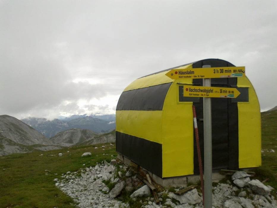
Schiestlhaus-Fleischer Biwak-Häuslalm-Sonnschienhütte-
Abdrothalm-Fobistörl-Leopoldsteiner See-Hieflau
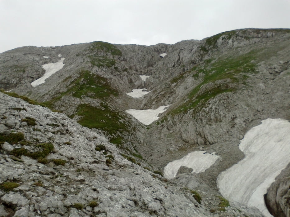
Immer noch tolle Landschaft. Einige Kletterpartien hätte ich mir lieber erspart! Insgesamt ca 3Std geschoben, getragen, gehoben… Versiertere Downhiller hätten sicher ihren Spaß.
Galeria trasy
Mapa trasy i profil wysokości
Minimum height 492 m
Maximum height 2200 m
More about the tour author
|
|
mitter |
Komentarze
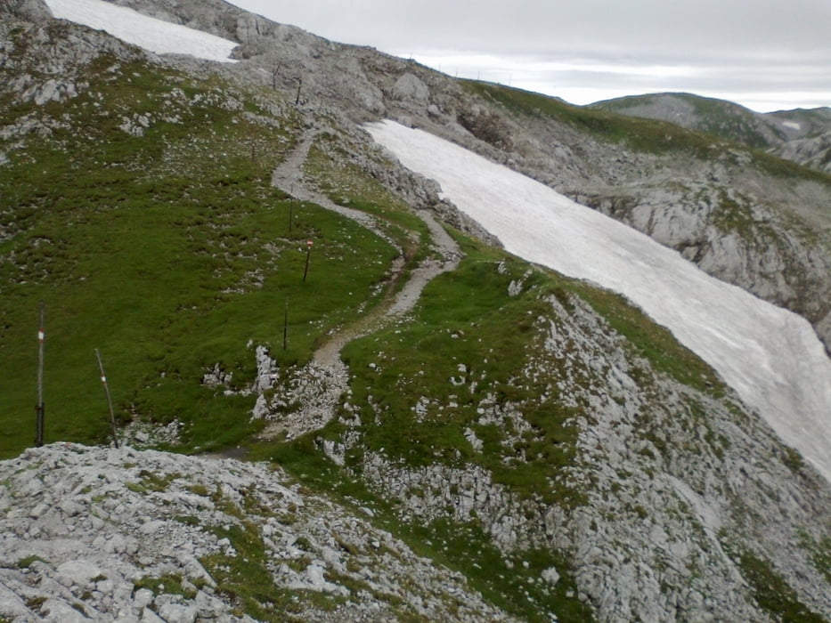
Start vom Schiestlhaus im hochalpinen Gelände.
GPS tracks
Trackpoints-
GPX / Garmin Map Source (gpx) download
-
TCX / Garmin Training Center® (tcx) download
-
CRS / Garmin Training Center® (crs) download
-
Google Earth (kml) download
-
G7ToWin (g7t) download
-
TTQV (trk) download
-
Overlay (ovl) download
-
Fugawi (txt) download
-
Kompass (DAV) Track (tk) download
-
Karta trasy (pdf) download
-
Original file of the author (gpx) download
More about the tour author
|
|
mitter |
Add to my favorites
Remove from my favorites
Edit tags
Open track
My score
Rate
Schiestlhaus
Ich würde mir bei einer Gesamtzeit von 5:17 und davon 3 Std. Schiebezeit schon die Grundsatzfrage stellen, ob das überhaupt noch in die Kategorie MTB fällt! Aber deine Touren ähneln sich sowieso alle - bist halt ein begeisteter Radwanderer - aber auch so kann man auf dieser Seite zum Tourenkönig erkoren werden!