

Tag 6 könnte bis auf wenige Meter auch mit dem Citybike zurückgelegt werden.
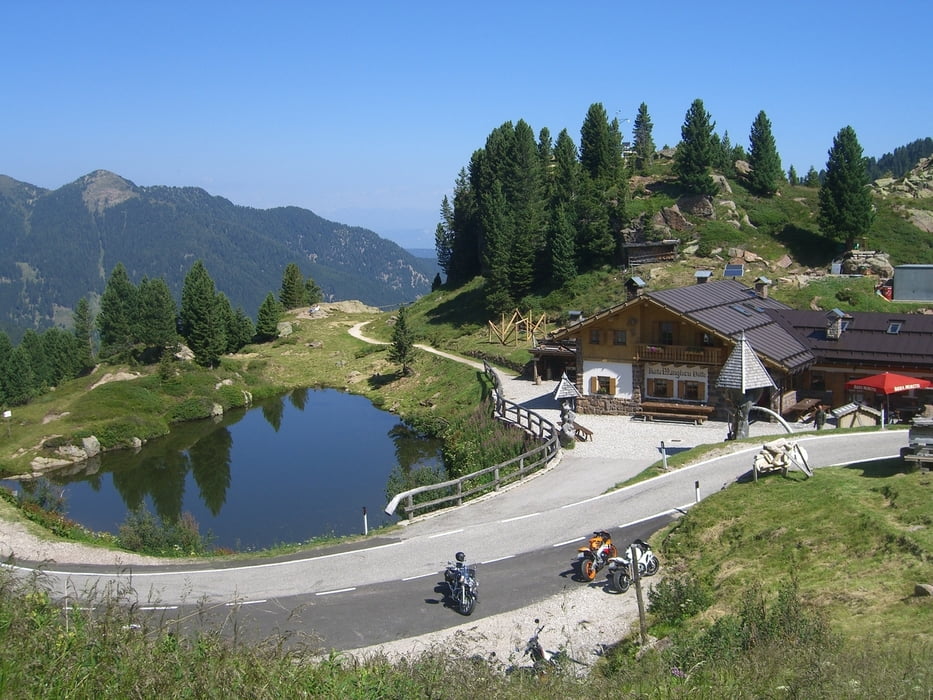
Rauf aufs Rad warten direkt 1200Hm Asphalt als Frühsport auf die müden Beine. Früh dran zu sein empfiehlt sich hier aber, da schläft die motorisierte Fraktion noch ;-) Oben angekommen vernichten wir die schönen Höhenmeter auch schon wieder auf Asphalt hinuter ins Valsugana. Keine Alternativen auszumachen... Ab hier dann ein hübsch angelegter Radweg nach Levico und von hier nehmen wir mit dem Kaiserjägerweg die zweite Teerauffahrt des Tages unter die Stollen. Im 1. Weltkrieg als Versorgungsweg angelegt verbindet er das Tal mit den Sieben Gemeinden auf der Hochebene. Am Pass Abzweig auf Schotter noch einige Meter hinauf und wir rollen hinab ins Etappenziel Bertoldi.
Unterkunft: Garni Il Muretto sehr hübsch, nette Wirtsleute, ÜF 39 EUR Daumen hoch
Galeria trasy

Mapa trasy i profil wysokości
Minimum height 394 m
Maximum height 2047 m
More about the tour author
|
|
Thane |
Komentarze

GPS tracks
Trackpoints-
GPX / Garmin Map Source (gpx) download
-
TCX / Garmin Training Center® (tcx) download
-
CRS / Garmin Training Center® (crs) download
-
Google Earth (kml) download
-
G7ToWin (g7t) download
-
TTQV (trk) download
-
Overlay (ovl) download
-
Fugawi (txt) download
-
Kompass (DAV) Track (tk) download
-
Karta trasy (pdf) download
-
Original file of the author (gpx) download
More about the tour author
|
|
Thane |
Add to my favorites
Remove from my favorites
Edit tags
Open track
My score
Rate