


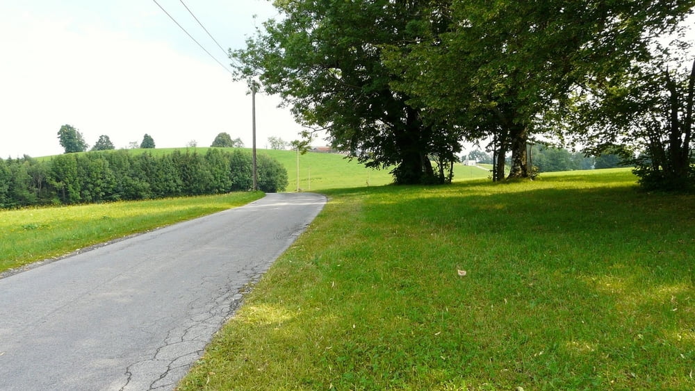
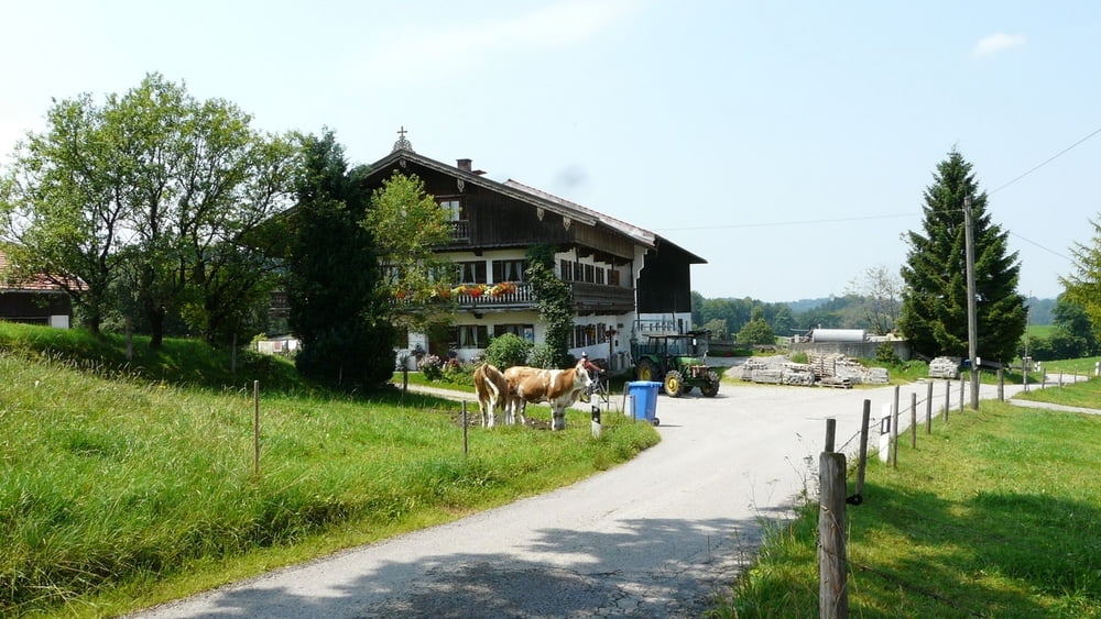
Eine wunderschöne Fahrradtour abseits der Autostraßen auf zum Teil asphaltierten Almwegen. Die Tour beginnt in Bad Wiessee und führt zunächst nach Gmund und von dort weiter ostwärts Richtung Wörnsmühl. Der Rückweg über Hausham ist fahrradstreckenmäßig optimal beschildert. Man hält sich einfach immer in Richtung Tegernsee.
Further information at
http://de.wikipedia.org/wiki/WörnsmühlGaleria trasy
Mapa trasy i profil wysokości
Minimum height 672 m
Maximum height 861 m
More about the tour author

|
wosob |
Komentarze

Anfahrt über die A8 Richtung München-Salzburg Ausfahrt 97 - Tegernsee/Bad Wiessee/Bad Tölz - danach einen Parkplatz bei Bad Wiessee ansteuern und die Tour beginnen.
GPS tracks
Trackpoints-
GPX / Garmin Map Source (gpx) download
-
TCX / Garmin Training Center® (tcx) download
-
CRS / Garmin Training Center® (crs) download
-
Google Earth (kml) download
-
G7ToWin (g7t) download
-
TTQV (trk) download
-
Overlay (ovl) download
-
Fugawi (txt) download
-
Kompass (DAV) Track (tk) download
-
Karta trasy (pdf) download
-
Original file of the author (gpx) download
More about the tour author
|
|
wosob |
Add to my favorites
Remove from my favorites
Edit tags
Open track
My score
Rate