


Eine Strecke, die etwas Ausdauer aber wenig Kondition erfordert.
Rund um den Mitterberg geht es immer wieder minimal bergauf und bergab, meist auf Asphalt, gelegentlich auch auf breiten Waldwegen. Nur 2 mal muß man für je etwa 300m auf eine stärker befahrene Straße, sonst sind alle Wege Autofrei oder sehr schwach befahren.
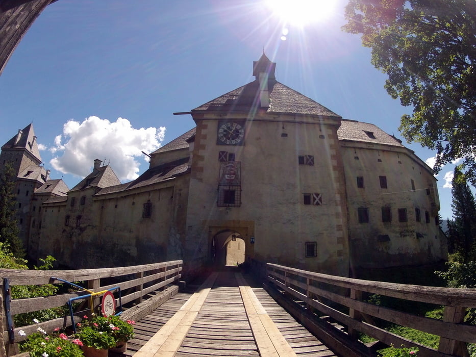
Da man den Mitterberg komplett umrundet besichtigt man dabei automatisch das gesamte Rundumpanorama des Lungaues - bei guter Sicht gibt es dabei immer wieder fantastische Ausblicke.
Rastplätze sind genügend vorhanden, mit Gasthöfen direkt an der Strecke darf man aber nicht rechnen. Ein kurzer Abstecher nach Mauterndorf oder Tamsweg kann aber jedes Gastronomiebedürfnis erfüllen.
Galeria trasy


Mapa trasy i profil wysokości
Minimum height 1013 m
Maximum height 1131 m
More about the tour author
|
|
andy1965 |
Komentarze

GPS tracks
Trackpoints-
GPX / Garmin Map Source (gpx) download
-
TCX / Garmin Training Center® (tcx) download
-
CRS / Garmin Training Center® (crs) download
-
Google Earth (kml) download
-
G7ToWin (g7t) download
-
TTQV (trk) download
-
Overlay (ovl) download
-
Fugawi (txt) download
-
Kompass (DAV) Track (tk) download
-
Karta trasy (pdf) download
-
Original file of the author (gpx) download
More about the tour author
|
|
andy1965 |
Add to my favorites
Remove from my favorites
Edit tags
Open track
My score
Rate