


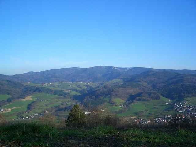
Beginnend am "alten Sportplatz" vor der Katholischen Kirche in Schallstadt fährt man erst nach Talhausen und schraubt sich dann auf Schotterwegen den Schönberg hoch. Nach rund 400 hm erreicht man den Gipfel mit schöner Aussicht auf das Hexental. Vom Gipfel geht es dann auf Trails zurück in die Rheinebene und zurück zum Ausgangspunkt.
Galeria trasy
Mapa trasy i profil wysokości
Minimum height 221 m
Maximum height 650 m
More about the tour author

|
fogg |
Komentarze

Mit der Bahn bis Bahnhof Schallstadt (7 Minuten vom Freiburger Hbf aus) oder mit dem Auto auf der B3 von Freiburg kommend rechts in den Scheuerleweg, dann wieder rechts in die Wiesenstraße und die zweite links in Auf der Viehweid einbiegen. Man kann in der Straße oder auch auf dem großen Parkplatz links parken.
GPS tracks
Trackpoints-
GPX / Garmin Map Source (gpx) download
-
TCX / Garmin Training Center® (tcx) download
-
CRS / Garmin Training Center® (crs) download
-
Google Earth (kml) download
-
G7ToWin (g7t) download
-
TTQV (trk) download
-
Overlay (ovl) download
-
Fugawi (txt) download
-
Kompass (DAV) Track (tk) download
-
Karta trasy (pdf) download
-
Original file of the author (gpx) download
More about the tour author
|
|
fogg |
Add to my favorites
Remove from my favorites
Edit tags
Open track
My score
Rate