Login

Zapomniałeś swój login?

Cookies have to be accepted!
Your browser's cookie functionality is disabled. Please enable this functionality.

Not a member yet?

Register now
Login

Available for registred users only

Log in to use this feature.

Zapomniałeś swój login?

Cookies have to be accepted!
Your browser's cookie functionality is disabled. Please enable this functionality.

Not a member yet?

Register now
Filter
Kategorie
Advanced filters
  • Długość (km)
  • Wysokość
Zapisz filtr Reset filter

TrackRank

QRCode

Technical data

Długość56,2 km Wysokość191 m Way down191 m Czas trwania03:30 h:m Data05.08.2012
Oceny Author Krajobraz Czynnik zadowolenia Kondycja Technika

Statystyka

453 Widoki Oceny 146 Downloads / Pliki do pobrania Przeciętnie
Rate
  • Karta trasy
  • Dojazd
  • Downloads / Pliki do pobrania

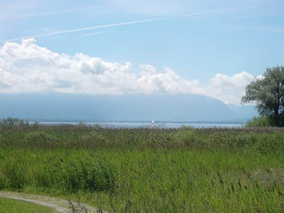
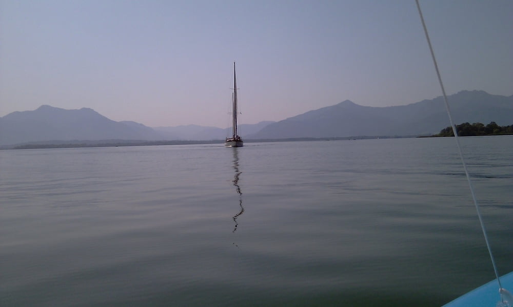
Sehr schöne Tour rund um den Chiemsee. 

Ausgangspunkt wäre Gstadt, ist aber kein Muss.

Empfehlenswert in den frühen Morgen oder späten Nachmittaggsstunden.

Galeria trasy

Mapa trasy i profil wysokości

  • Open Street Map
  • Google
Minimum height 514 m Maximum height 579 m Widok szczegółowy

More about the tour author

gln69
Member since 2012

Send private message

Komentarze

Mit dem Pkw nach gstadt, bzw. irgendwo am Chiemsee direkt zu beginnen.

GPS tracks

Trackpoints
  • GPX / Garmin Map Source (gpx) download
  • TCX / Garmin Training Center® (tcx) download
  • CRS / Garmin Training Center® (crs) download
  • Google Earth (kml) download
  • G7ToWin (g7t) download
  • TTQV (trk) download
  • Overlay (ovl) download
  • Fugawi (txt) download
  • Kompass (DAV) Track (tk) download
  • Karta trasy (pdf) download
  • Original file of the author (gpx) download

More about the tour author

gln69
Member since 2012

Send private message
Share track
Add to my favorites
Remove from my favorites
Edit tags
My score
Rate
Trasa: Chiemseerundfahrt
Rodzaj: Trasy rowerowe
Długość: 56,2 km
Evaluated on:
Czas trwania:
Day(s)
Hour(s)
Minute(s)
Ocena: Krajobraz Czynnik zadowolenia Kondycja Technika