Login

Zapomniałeś swój login?

Cookies have to be accepted!
Your browser's cookie functionality is disabled. Please enable this functionality.

Not a member yet?

Register now
Login

Available for registred users only

Log in to use this feature.

Zapomniałeś swój login?

Cookies have to be accepted!
Your browser's cookie functionality is disabled. Please enable this functionality.

Not a member yet?

Register now
Filter
Kategorie
Advanced filters
  • Długość (km)
  • Wysokość
Zapisz filtr Reset filter

TrackRank

QRCode

Technical data

Długość77,2 km Wysokość2048 m Way down2048 m Czas trwania05:10 h:m Data05.08.2012
Oceny Author Krajobraz Czynnik zadowolenia Kondycja Technika

Statystyka

902 Widoki Oceny 97 Downloads / Pliki do pobrania Przeciętnie
Rate
  • Karta trasy
  • Dojazd
  • Downloads / Pliki do pobrania

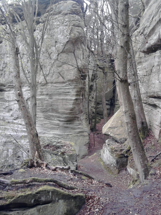
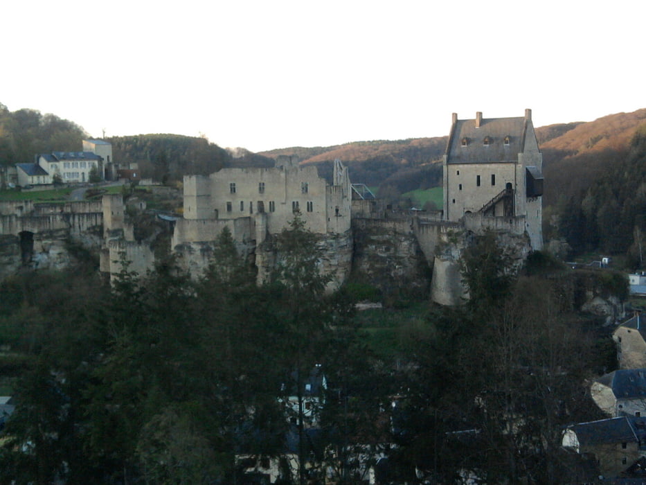
Deze tocht is bij nat weer vereden, dan is het een vrij zware tocht, er zit eigenlijk alles in deze tocht. Er zitten zware lange klimmen in en veel singeltrails met soms adembenemend uitzicht. Op de verbindingsstukken zit soms wat asfalt, maar vaak met mooi uitzicht.

Halverwege is er even stukje Mersch ingereden, waar je bij de bakker aan het pleintje een broodje kunt eten.

Galeria trasy

Mapa trasy i profil wysokości

  • Open Street Map
  • Google
Minimum height 165 m Maximum height 441 m Widok szczegółowy

More about the tour author

Bartelomeus
Member since 2012

Send private message

Komentarze

GPS tracks

Trackpoints
  • GPX / Garmin Map Source (gpx) download
  • TCX / Garmin Training Center® (tcx) download
  • CRS / Garmin Training Center® (crs) download
  • Google Earth (kml) download
  • G7ToWin (g7t) download
  • TTQV (trk) download
  • Overlay (ovl) download
  • Fugawi (txt) download
  • Kompass (DAV) Track (tk) download
  • Karta trasy (pdf) download
  • Original file of the author (tcx) download

More about the tour author

Bartelomeus
Member since 2012

Send private message
Share track
Add to my favorites
Remove from my favorites
Edit tags
My score
Rate
Trasa: Larochette
Rodzaj: Rower górski (MTB)
Długość: 77,2 km
Evaluated on:
Czas trwania:
Day(s)
Hour(s)
Minute(s)
Ocena: Krajobraz Czynnik zadowolenia Kondycja Technika