


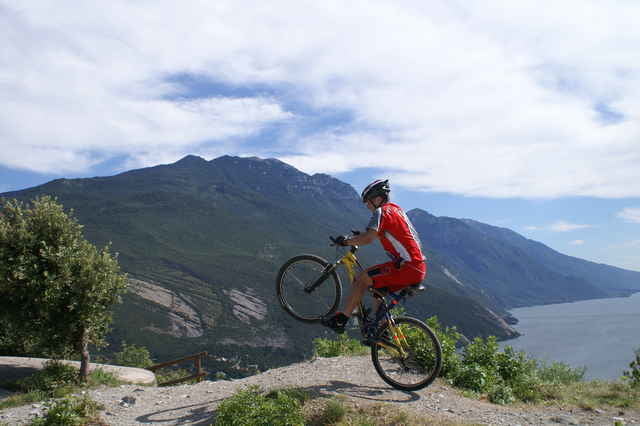
Bergauf gehts auf der Via Monte Brione anfangs auf Asphalt und später auf breiter Schotterstrasse stets bergauf. Am Bunker angekommen sollte man gleich einmal das Panorama am Dach des Bunkers genießen. Danach gehts hoch zum Sender um dort die Aussicht zu genießen. Dann fahren wir ein kleines Stück des selben Weges zurück um dann in einer Linkskehre rechts in einen Wanderweg einzufahren. Man fährt an die Nordseite des Monte Brione wo noch viele feine Singletrails warten. Am Ende mündet man auf eine steile Betonstrasse bei den Olivenbäumen. Wir machten noch einen Abstecher in eine Strandkneipe nach Riva bevor wir mit den letzten Sonnenstrahlen nach Torbole zurückkurvten.
Further information at
http://members.kabelspeed.at/mtbGaleria trasy
Mapa trasy i profil wysokości
Minimum height 67 m
Maximum height 364 m
More about the tour author

|
Komentarze

GPS tracks
Trackpoints-
GPX / Garmin Map Source (gpx) download
-
TCX / Garmin Training Center® (tcx) download
-
CRS / Garmin Training Center® (crs) download
-
Google Earth (kml) download
-
G7ToWin (g7t) download
-
TTQV (trk) download
-
Overlay (ovl) download
-
Fugawi (txt) download
-
Kompass (DAV) Track (tk) download
-
Karta trasy (pdf) download
-
Original file of the author (g7t) download
More about the tour author
|
|
Add to my favorites
Remove from my favorites
Edit tags
Open track
My score
Rate