

größere Wanderung durch einsame und wilde Täler am Comersee
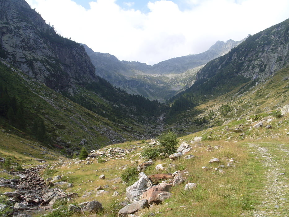
Über Godona auf Mautstraße ins Val Bodengo. Am Ende der Fahrstraße beginnt auf 1200m die Wanderung. Bis auf ca. 1280m auf schlechter werdendem Güterweg bis kurz nach nach Corte Seconda. Ab hier dann rot weiß rot markiert zum Bocetta di Corregia 2170m, zuletzt 30m leicht kletternd (hatte das Rad dabei, war grenzwertig!). Am Paß sieht man dann den Lago Darengo und das Capanna Como (Schlüssel in Livo erfragen oder link bei Leo) auf 1790m. Die Markierung ist zum See hinunter kaum/nicht zu finden, ich bin dann ca. 200hm weglos zum sichtbaren Weg oberhalb des Sees gequert.
Dann noch ca. 5Std. Marsch bis Livo auf 700m.
Der Weg ist in den steilen Passagen ist T3, in den flacheren Richtung Livo einfacher.
Der Fahrweg beginnt wieder in Grotto Dangri (Bar, Badetümpel).
Further information at
http://www.comersee-aktiv.comGaleria trasy


Mapa trasy i profil wysokości
Minimum height 165 m
Maximum height 2179 m
More about the tour author
|
|
skyhopper |
Komentarze

GPS tracks
Trackpoints-
GPX / Garmin Map Source (gpx) download
-
TCX / Garmin Training Center® (tcx) download
-
CRS / Garmin Training Center® (crs) download
-
Google Earth (kml) download
-
G7ToWin (g7t) download
-
TTQV (trk) download
-
Overlay (ovl) download
-
Fugawi (txt) download
-
Kompass (DAV) Track (tk) download
-
Karta trasy (pdf) download
-
Original file of the author (gpx) download
More about the tour author
|
|
skyhopper |
Add to my favorites
Remove from my favorites
Edit tags
Open track
My score
Rate