Login

Zapomniałeś swój login?

Cookies have to be accepted!
Your browser's cookie functionality is disabled. Please enable this functionality.

Not a member yet?

Register now
Login

Available for registred users only

Log in to use this feature.

Zapomniałeś swój login?

Cookies have to be accepted!
Your browser's cookie functionality is disabled. Please enable this functionality.

Not a member yet?

Register now
Filter
Kategorie
Advanced filters
  • Długość (km)
  • Wysokość
Zapisz filtr Reset filter

TrackRank

QRCode

Technical data

Długość121,5 km Wysokość3566 m Way down3248 m Czas trwania3 days 0 h Data12.08.2012
Oceny Author Krajobraz Czynnik zadowolenia Kondycja Technika

Statystyka

717 Widoki Oceny 46 Downloads / Pliki do pobrania Przeciętnie
Rate
  • Karta trasy
  • Dojazd
  • Downloads / Pliki do pobrania

Tag 1: Lindau-Pfänder-Hirschberg-Langen-Hittisau meist Straße mit kurzem Trail vom Hirschberg.

Tag 2: Hittisau - Scheidwangalpe - Hirschgundalpe - Schiebe- und Tragestrecke zur Oberen Wilhelmine Alpe - Hölleritz Alpe - Gunzesried.

Tag 3: Gunzesried - Immenstadt - steiler Anstieg zur Mittelberg Alpe - kurzer Trail bis zur Weissach - Steibis - Röthenbach.

Zurück nach Lindau mit der Bahn. Alternativ kann man auch auf dem Bodensee - Knönigsee Radweg nach Lindau zürückfahren.
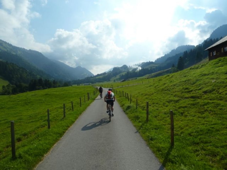
Galeria trasy

Mapa trasy i profil wysokości

  • Open Street Map
  • Google
Minimum height 391 m Maximum height 1539 m Widok szczegółowy

More about the tour author

ThoBi
Member since 2009

Send private message

Komentarze

Start Lidau Hauptbahnhof

GPS tracks

Trackpoints
  • GPX / Garmin Map Source (gpx) download
  • TCX / Garmin Training Center® (tcx) download
  • CRS / Garmin Training Center® (crs) download
  • Google Earth (kml) download
  • G7ToWin (g7t) download
  • TTQV (trk) download
  • Overlay (ovl) download
  • Fugawi (txt) download
  • Kompass (DAV) Track (tk) download
  • Karta trasy (pdf) download
  • Original file of the author (gpx) download

More about the tour author

ThoBi
Member since 2009

Send private message
Share track
Add to my favorites
Remove from my favorites
Edit tags
My score
Rate
Trasa: Umrundung der Nagelfluhkette
Rodzaj: Rower górski (MTB)
Długość: 121,5 km
Evaluated on:
Czas trwania:
Day(s)
Hour(s)
Minute(s)
Ocena: Krajobraz Czynnik zadowolenia Kondycja Technika