


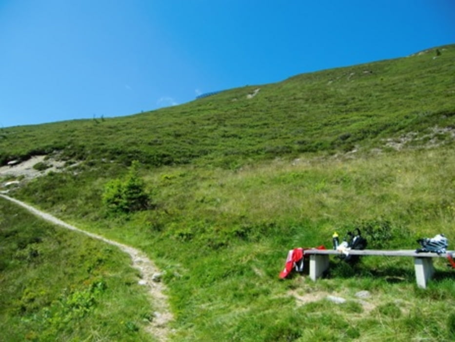
Von Strass ausgehend nach Schlitters über den Radweg - Hart - Haslbach - Stumm (16 km;) - Nun Asphaltstraße hoch zum Gattererberg zur Jausenstation Almluft (45 min) - nun rel. grober u. ausgewaschener Weg Richtung Hamberg (WegNr. 17) - Riedangeraste - Dematsteinaste - ab hier links hoch über nun groben Weg zur Steinbergaste und noch 2 Kehren bis zum höchsten Punkt unterhalb Lawinenverbauung (29 km), am Bankerl kann man sich gut erholen und einen tollen Blick ins Zillertal genießen - Singletrail zur Hochstadlalm der nicht allzuschwierig ist - Hocheggalm - Obweinsalm - Richtung Märzengrund; ab hier dann leichter Trail/Karrenweg am Märzenbach bis zum Stummerberg - Stumm (45 km) - Strass (60 km)
Galeria trasy


Mapa trasy i profil wysokości
Minimum height 521 m
Maximum height 1890 m
More about the tour author

|
tyrolmountain |
Komentarze

Parken beim Gemeindeamt in Strass im Zillertal
GPS tracks
Trackpoints-
GPX / Garmin Map Source (gpx) download
-
TCX / Garmin Training Center® (tcx) download
-
CRS / Garmin Training Center® (crs) download
-
Google Earth (kml) download
-
G7ToWin (g7t) download
-
TTQV (trk) download
-
Overlay (ovl) download
-
Fugawi (txt) download
-
Kompass (DAV) Track (tk) download
-
Karta trasy (pdf) download
-
Original file of the author (gpx) download
More about the tour author
|
|
tyrolmountain |
Add to my favorites
Remove from my favorites
Edit tags
Open track
My score
Rate