Login

Zapomniałeś swój login?

Cookies have to be accepted!
Your browser's cookie functionality is disabled. Please enable this functionality.

Not a member yet?

Register now
Login

Available for registred users only

Log in to use this feature.

Zapomniałeś swój login?

Cookies have to be accepted!
Your browser's cookie functionality is disabled. Please enable this functionality.

Not a member yet?

Register now
Filter
Kategorie
Advanced filters
  • Długość (km)
  • Wysokość
Zapisz filtr Reset filter

TrackRank

QRCode

Technical data

Długość42,7 km Wysokość237 m Way down239 m Czas trwania00:00 h:m Data15.08.2012
Oceny Author Krajobraz Czynnik zadowolenia Kondycja Technika

Statystyka

431 Widoki Oceny 38 Downloads / Pliki do pobrania Przeciętnie
Rate
  • Karta trasy
  • Dojazd
  • Downloads / Pliki do pobrania
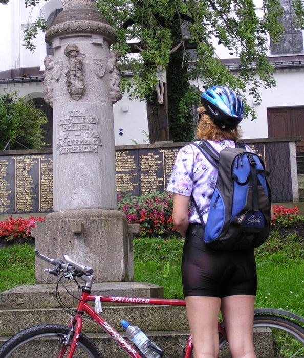
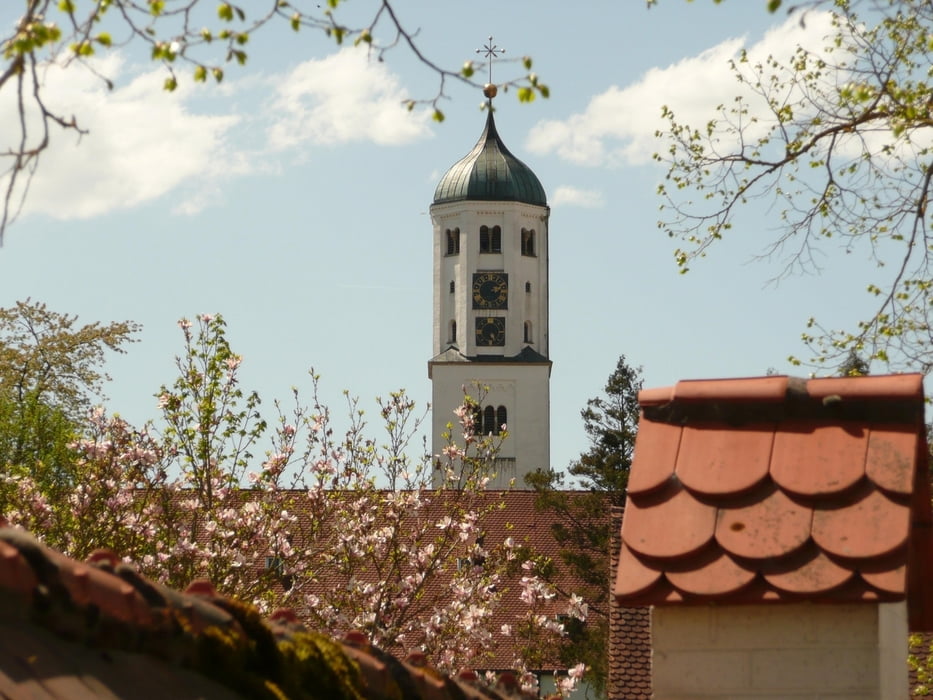
Ein echter Rubens? Das gibt es auch in der bayerisch-schwäbischen Provinz in Kirchheim. Vieles können wir bei dieser Tour entdecken. Eine regelrechte Truppe von Störchen auf einem Kran bei Kirchheim ist eine weitere Attraktion. Von Mindelheim zum Fuggermarkt Kirchheim führt unsere Tour. Das Fürstengeschlecht der Fuggers hat Kirchheim und andere Orte der Region maßgeblich geprägt. Dem können wir auf unserer Runde nachspüren.

Galeria trasy

Mapa trasy i profil wysokości

  • Open Street Map
  • Google
Minimum height 536 m Maximum height 635 m Widok szczegółowy

More about the tour author

ulipele
Member since 2011

Send private message

Komentarze

Start und Ziel ist der Mindelheimer Bahnhof.

GPS tracks

Trackpoints
  • GPX / Garmin Map Source (gpx) download
  • TCX / Garmin Training Center® (tcx) download
  • CRS / Garmin Training Center® (crs) download
  • Google Earth (kml) download
  • G7ToWin (g7t) download
  • TTQV (trk) download
  • Overlay (ovl) download
  • Fugawi (txt) download
  • Kompass (DAV) Track (tk) download
  • Karta trasy (pdf) download
  • Original file of the author (gpx) download

More about the tour author

ulipele
Member since 2011

Send private message
Share track
Add to my favorites
Remove from my favorites
Edit tags
My score
Rate
Trasa: Zwischen Mindelheim und Kirchheim Radführer West Augsburger Allgemeine Landkreis Unterallgäu Mittelschwäbische Nachrichten Raum Krumbach Radelnanders
Rodzaj: Trasy rowerowe
Długość: 42,7 km
Evaluated on:
Czas trwania:
Day(s)
Hour(s)
Minute(s)
Ocena: Krajobraz Czynnik zadowolenia Kondycja Technika