Login

Zapomniałeś swój login?

Cookies have to be accepted!
Your browser's cookie functionality is disabled. Please enable this functionality.

Not a member yet?

Register now
Login

Available for registred users only

Log in to use this feature.

Zapomniałeś swój login?

Cookies have to be accepted!
Your browser's cookie functionality is disabled. Please enable this functionality.

Not a member yet?

Register now
Filter
Kategorie
Advanced filters
  • Długość (km)
  • Wysokość
Zapisz filtr Reset filter

TrackRank

QRCode

Technical data

Długość108,3 km Wysokość945 m Way down945 m Czas trwania05:00 h:m Data20.08.2012
Oceny Author Krajobraz Czynnik zadowolenia Kondycja Technika

Statystyka

639 Widoki 1 Ocena 46 Downloads / Pliki do pobrania 5.00 Przeciętnie
Rate
  • Karta trasy
  • Dojazd
  • Downloads / Pliki do pobrania
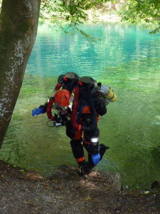
Unsere Runde beginnt und endet in Pfaffenhofen. Mit dem Blautopf steuern wir ein ganz besonderes Ziel in der Region an. In der Schwäbischen Alb geht es immer wieder einige happige Anstiege hinauf, wir werden mit faszinierenden Tief- und Weitblicken entschädigt. Und die Rückfahrt nach Pfaffenhofen wird zu einem spannenden Finale.

Galeria trasy

Mapa trasy i profil wysokości

  • Open Street Map
  • Google
Minimum height 446 m Maximum height 681 m Widok szczegółowy

More about the tour author

ulipele
Member since 2011

Send private message

Komentarze

Die Tour beginnt und endet in Pfaffenhofen.

GPS tracks

Trackpoints
  • GPX / Garmin Map Source (gpx) download
  • TCX / Garmin Training Center® (tcx) download
  • CRS / Garmin Training Center® (crs) download
  • Google Earth (kml) download
  • G7ToWin (g7t) download
  • TTQV (trk) download
  • Overlay (ovl) download
  • Fugawi (txt) download
  • Kompass (DAV) Track (tk) download
  • Karta trasy (pdf) download
  • Original file of the author (gpx) download

More about the tour author

ulipele
Member since 2011

Send private message
Share track
Add to my favorites
Remove from my favorites
Edit tags
My score
Rate
Trasa: Zum Blautopf Radführer West Augsburger Allgemeine Landkreis Neu-Ulm und Günzburg Neu-Ulmer Zeitung Radelnanders Mittelschwäbische Nachrichten
Rodzaj: Rower szosowy
Długość: 108,3 km
Evaluated on:
Czas trwania:
Day(s)
Hour(s)
Minute(s)
Ocena: Krajobraz Czynnik zadowolenia Kondycja Technika