Login

Zapomniałeś swój login?

Cookies have to be accepted!
Your browser's cookie functionality is disabled. Please enable this functionality.

Not a member yet?

Register now
Login

Available for registred users only

Log in to use this feature.

Zapomniałeś swój login?

Cookies have to be accepted!
Your browser's cookie functionality is disabled. Please enable this functionality.

Not a member yet?

Register now
Filter
Kategorie
Advanced filters
  • Długość (km)
  • Wysokość
Zapisz filtr Reset filter

TrackRank

QRCode

Technical data

Długość69,6 km Wysokość2167 m Way down2146 m Czas trwania06:01 h:m Data21.08.2012
Oceny Author Krajobraz Czynnik zadowolenia Kondycja Technika

Statystyka

362 Widoki Oceny 43 Downloads / Pliki do pobrania Przeciętnie
Rate
  • Karta trasy
  • Dojazd
  • Downloads / Pliki do pobrania


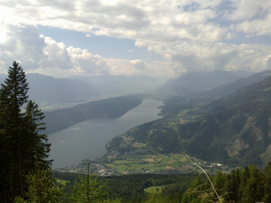
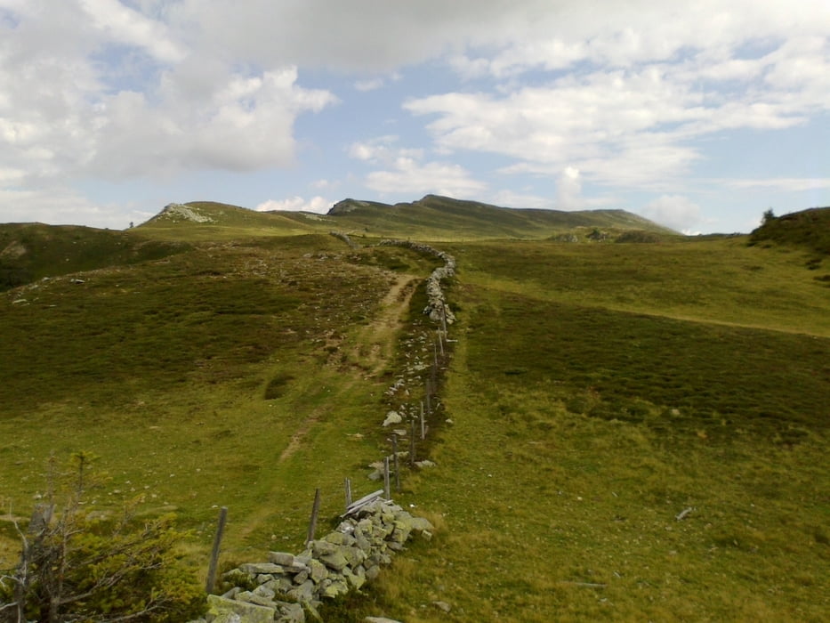
Blick auf den Millstätter See von verschiedensten Winkeln. Die letzten 240 hm auf den Gipfel Schiebung über die Alm.
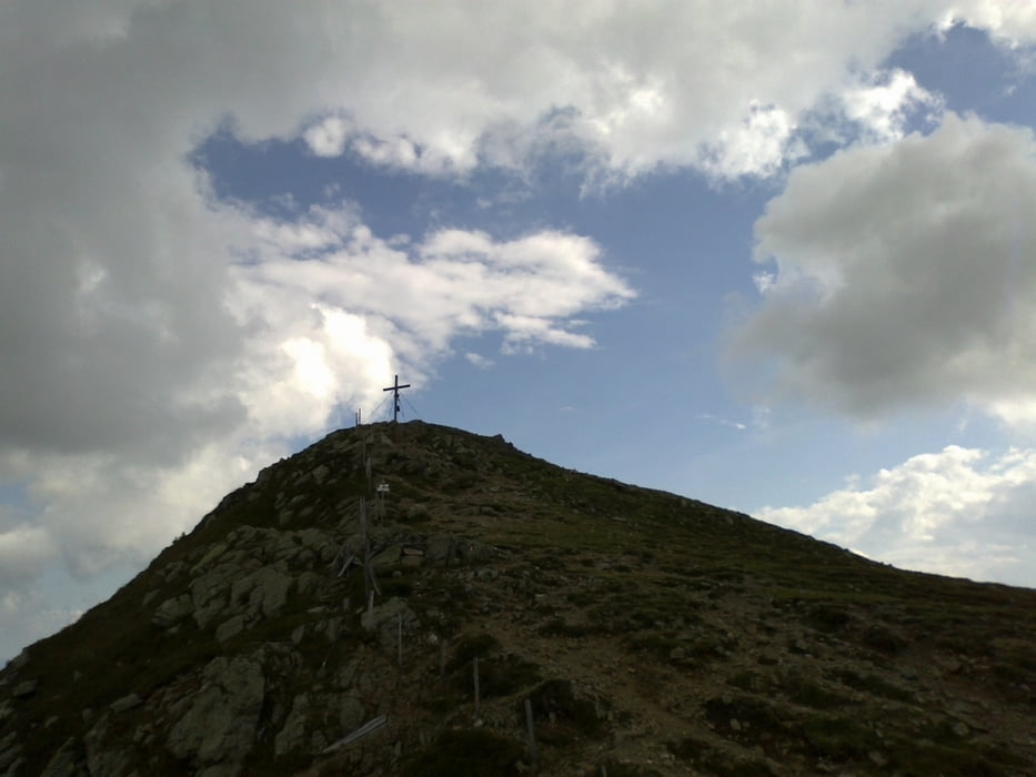
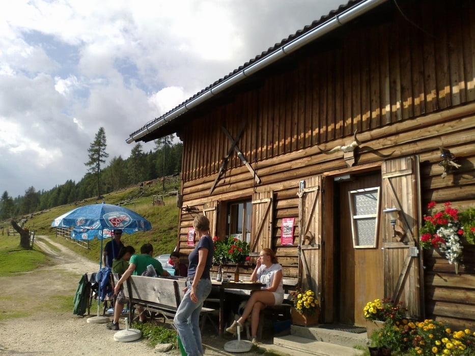
Auf dem Mirnock dafür großartiger Rundumblick!! Einkehr auf der Gingerhütte sehr zu empfehlen! Äußerst nette Leute, guter Kaiserschmarren, blick ins Tal.
Zurück über den Seeuferradweg mit ein paar kleinen Gegenanstiegen auch sehr nett.

Galeria trasy

Mapa trasy i profil wysokości

  • Open Street Map
  • Google
Minimum height 543 m Maximum height 2109 m Widok szczegółowy

More about the tour author

mitter
Member since 2008

Send private message

Komentarze

Start in Spittal beim Spital.

GPS tracks

Trackpoints
  • GPX / Garmin Map Source (gpx) download
  • TCX / Garmin Training Center® (tcx) download
  • CRS / Garmin Training Center® (crs) download
  • Google Earth (kml) download
  • G7ToWin (g7t) download
  • TTQV (trk) download
  • Overlay (ovl) download
  • Fugawi (txt) download
  • Kompass (DAV) Track (tk) download
  • Karta trasy (pdf) download
  • Original file of the author (gpx) download

More about the tour author

mitter
Member since 2008

Send private message
Share track
Add to my favorites
Remove from my favorites
Edit tags
My score
Rate
Trasa: Mirnock 120814
Rodzaj: Rower górski (MTB)
Długość: 69,6 km
Evaluated on:
Czas trwania:
Day(s)
Hour(s)
Minute(s)
Ocena: Krajobraz Czynnik zadowolenia Kondycja Technika