


Nach 400 hm wollte die Sollbruchstelle am hinteren Werfer beim Schalten auf den 1. Gang brechen.
Offenbar ist die Kette über das letzte Ritzel gerutscht und hat das dann ausgelöst.
Tja, zurück nach Spittal. Zum Glück hat die More-Werkstatt das gleich richten können - zufälligerweise das passende Ersatzteil gehabt.
Die Kette war auch noch lädiert - um ein Glied gekürzt. Und um 11.30 Uhr bin ich erneut gestartet.
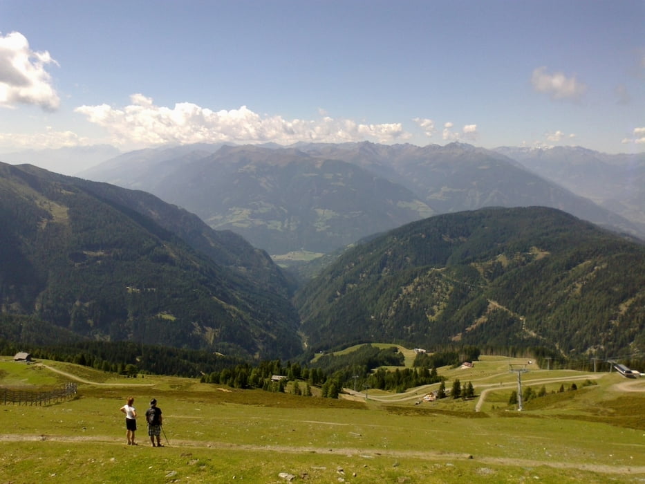
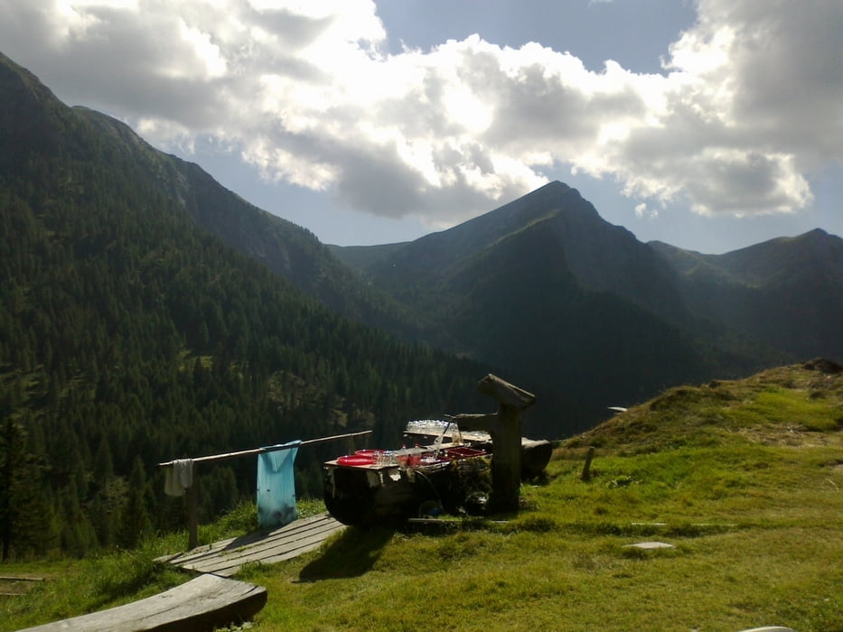
Die Abfahrt vom Goldeck zur Gusenalm (sehr angenehme Alm!) und dann weiter nach Stockenboi ist ein heißer Singletrail (für mich nicht alles fahrbar)l! Leider wurde "mein" Badeplatz am Weißensee privatisiert.
Offenbar ist die Kette über das letzte Ritzel gerutscht und hat das dann ausgelöst.
Tja, zurück nach Spittal. Zum Glück hat die More-Werkstatt das gleich richten können - zufälligerweise das passende Ersatzteil gehabt.
Die Kette war auch noch lädiert - um ein Glied gekürzt. Und um 11.30 Uhr bin ich erneut gestartet.
Die Abfahrt vom Goldeck zur Gusenalm (sehr angenehme Alm!) und dann weiter nach Stockenboi ist ein heißer Singletrail (für mich nicht alles fahrbar)l! Leider wurde "mein" Badeplatz am Weißensee privatisiert.
Galeria trasy
Mapa trasy i profil wysokości
Minimum height 510 m
Maximum height 2097 m
More about the tour author
|
|
mitter |
Komentarze

Start in Spittal beim Spital.
GPS tracks
Trackpoints-
GPX / Garmin Map Source (gpx) download
-
TCX / Garmin Training Center® (tcx) download
-
CRS / Garmin Training Center® (crs) download
-
Google Earth (kml) download
-
G7ToWin (g7t) download
-
TTQV (trk) download
-
Overlay (ovl) download
-
Fugawi (txt) download
-
Kompass (DAV) Track (tk) download
-
Karta trasy (pdf) download
-
Original file of the author (gpx) download
More about the tour author
|
|
mitter |
Add to my favorites
Remove from my favorites
Edit tags
Open track
My score
Rate