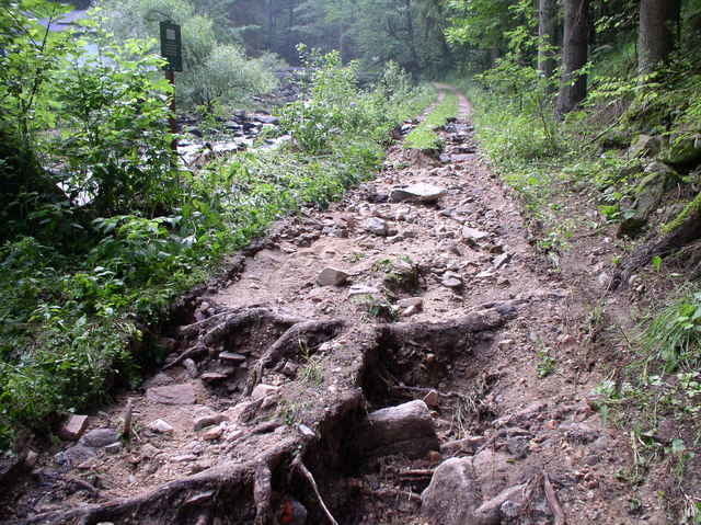
Dieser zertifizierte Nordic-Walking Trail mit leichtem Schwierigkeitsgrad beginnt und endet beim Freizeitzentrum der Wandergemeinde Lasberg. Der NW-Trail bietet herrliche Ausblicke auf das Mühlviertler Hügelland und bei klarer Sicht teilweise auf die Alpenkette.
Besonders reizvoll sind die Sehenswürdigkeiten entlang des „Feistriztal-Trails“: zwei Freilichtmuseen (Fürstenhammer N48° 28.163 E14° 31.527, Spiralschmiede N48° 27.657 E14° 32.737) laden zum Besuch ein, der Nordic Walking Trail führt ein Stück entlang des „Meditationsweges“.
Aussichtspunkte: zahlreiche Aussichtspunkte am Fuße des 810 Meter hohen Buchbegers
Gastronomie: „Lini’s Stüberl“, Kernlandhalle Lasberg, Gasthäuser in Lasberg/Ortszentrum
Vitamintankstelle: Gasthaus zur Haltestelle (auf halber Strecke)
Further information at
http://www.lasberg.atGaleria trasy
Mapa trasy i profil wysokości
Minimum height 495 m
Maximum height 647 m
Komentarze

Mit dem Auto auf der A7/B310 von Linz nach Freistadt. In Freistadt bei der zweiten Ampel rechts abbiegen nach Lasberg.
Mit dem Zug (http://www.oebb.at - ÖBB) bis zur Haltestelle Lasberg, von dort 100m bis zum Feistritztaltrail (halbe Strecke)
Mit dem Zug (http://www.oebb.at - ÖBB) bis zur Haltestelle Lasberg, von dort 100m bis zum Feistritztaltrail (halbe Strecke)
GPS tracks
Trackpoints-
GPX / Garmin Map Source (gpx) download
-
TCX / Garmin Training Center® (tcx) download
-
CRS / Garmin Training Center® (crs) download
-
Google Earth (kml) download
-
G7ToWin (g7t) download
-
TTQV (trk) download
-
Overlay (ovl) download
-
Fugawi (txt) download
-
Kompass (DAV) Track (tk) download
-
Karta trasy (pdf) download
-
Original file of the author (gpx) download
Add to my favorites
Remove from my favorites
Edit tags
Open track
My score
Rate


