Login

Zapomniałeś swój login?

Cookies have to be accepted!
Your browser's cookie functionality is disabled. Please enable this functionality.

Not a member yet?

Register now
Login

Available for registred users only

Log in to use this feature.

Zapomniałeś swój login?

Cookies have to be accepted!
Your browser's cookie functionality is disabled. Please enable this functionality.

Not a member yet?

Register now
Filter
Kategorie
Advanced filters
  • Długość (km)
  • Wysokość
Zapisz filtr Reset filter

TrackRank

QRCode

Technical data

Długość12,9 km Wysokość270 m Way down228 m Czas trwania03:10 h:m Data21.08.2012
Oceny Author Krajobraz Czynnik zadowolenia Kondycja Technika

Statystyka

440 Widoki Oceny 26 Downloads / Pliki do pobrania Przeciętnie
Rate
  • Karta trasy
  • Dojazd
  • Downloads / Pliki do pobrania


Start und Ziel dieser Wanderung in der Gemeinde Reichshof im Bergischen Land ist der WandernParkplatz am L342.
Die strecke fängt an auf die gegenliegende Straßenseite.
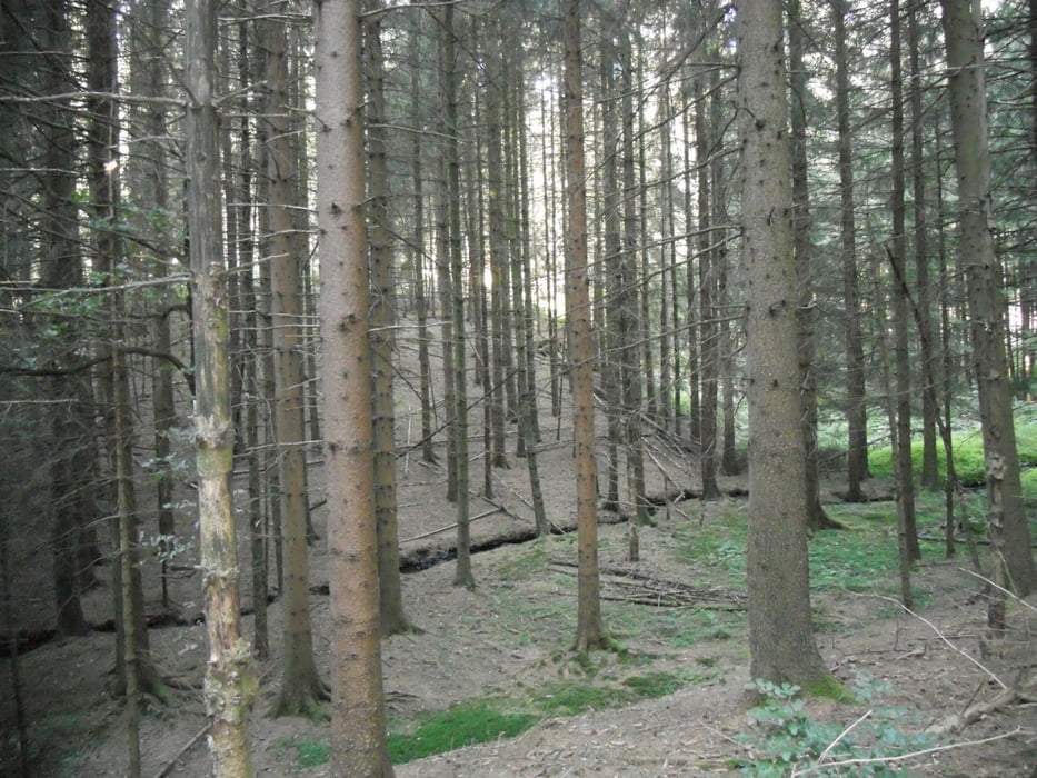
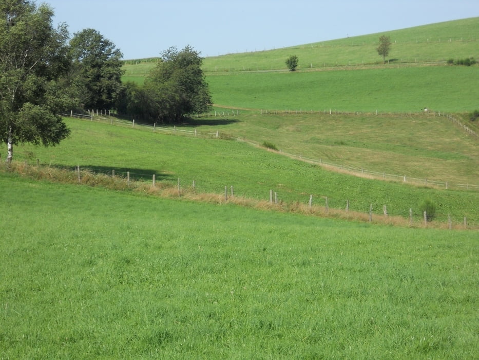
Der Rundwanderweg bietet sowohl tiefe Einblilcke in landwirtschaftlich genutzte Bezirke,Die Faszination am Golfen,
wie auch in Forstgebiete im eine anspruchsvolle und landschaftlich schöne Strecke in eines der
Naturschutzgebiete der Wacholderheide bei Wildbergerhütte.

Galeria trasy

Mapa trasy i profil wysokości

  • Open Street Map
  • Google
Minimum height 265 m Maximum height 415 m Widok szczegółowy

More about the tour author

ajdda
Member since 2011

Send private message

Komentarze

WandernParkplatz am L342.

GPS tracks

Trackpoints
  • GPX / Garmin Map Source (gpx) download
  • TCX / Garmin Training Center® (tcx) download
  • CRS / Garmin Training Center® (crs) download
  • Google Earth (kml) download
  • G7ToWin (g7t) download
  • TTQV (trk) download
  • Overlay (ovl) download
  • Fugawi (txt) download
  • Kompass (DAV) Track (tk) download
  • Karta trasy (pdf) download
  • Original file of the author (gpx) download

More about the tour author

ajdda
Member since 2011

Send private message
Share track
Add to my favorites
Remove from my favorites
Edit tags
My score
Rate
Trasa: Wildbergerhütte Rundwanderung zwischen Golf und Maisfeldern
Rodzaj: Wędrówki
Długość: 12,9 km
Evaluated on:
Czas trwania:
Day(s)
Hour(s)
Minute(s)
Ocena: Krajobraz Czynnik zadowolenia Kondycja Technika