

Mayrhofen - Ginzling
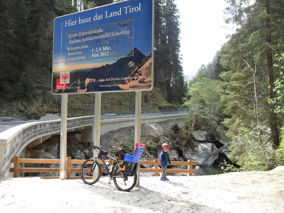
Anfang Mai 2012 hat dort leider alles geschlossen und somit kann ich nur von der Tour ohne Rahmenprogramm berichten.
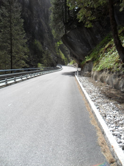
Die Tour startet in Mayrhofen und führt am Ortsende links von der Hauptstraße ab Richtung Ginzling. Alles gut beschildert - ist ja leider eine öffentliche Straße aber der Verkehr ist eher wenig.
Die Steigungen sind mit Kindersitz hinten drauf gut fahrbar.
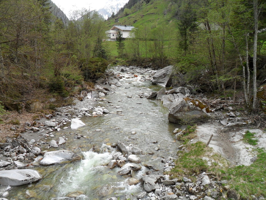
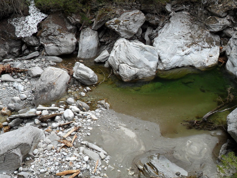
Die Landschaft ist schön aber nicht einzigartig - habe die Tour hauptsächlich wegen den Höhenmeter unternommen und so meinen Leistungsstand getestet.
Evtl. sollte man ein Licht anbauen - die Tunneldurchfahrten sind teilweise schon lang und dunkel.
Galeria trasy
Mapa trasy i profil wysokości
Minimum height 639 m
Maximum height 1007 m
More about the tour author
|
|
matthiasneff |
Komentarze

GPS tracks
Trackpoints-
GPX / Garmin Map Source (gpx) download
-
TCX / Garmin Training Center® (tcx) download
-
CRS / Garmin Training Center® (crs) download
-
Google Earth (kml) download
-
G7ToWin (g7t) download
-
TTQV (trk) download
-
Overlay (ovl) download
-
Fugawi (txt) download
-
Kompass (DAV) Track (tk) download
-
Karta trasy (pdf) download
-
Original file of the author (gpx) download
More about the tour author
|
|
matthiasneff |
Add to my favorites
Remove from my favorites
Edit tags
Open track
My score
Rate