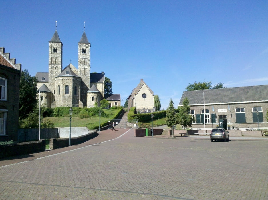
Der Bahnhof Dalheim liegt an der deutsch-niederländischen Grenze. Nach wenigen hundert Metern erreicht man die Niederlande. Durch abwechslungsreiche Landschaft geht es nach Sint Odilienberg. Durch das Tal der Roer (Rur) führt der Weg nach Roermond. Entlang der Maas geht es nach Venlo.
Galeria trasy
Mapa trasy i profil wysokości
Minimum height 13 m
Maximum height 64 m
Komentarze

GPS tracks
Trackpoints-
GPX / Garmin Map Source (gpx) download
-
TCX / Garmin Training Center® (tcx) download
-
CRS / Garmin Training Center® (crs) download
-
Google Earth (kml) download
-
G7ToWin (g7t) download
-
TTQV (trk) download
-
Overlay (ovl) download
-
Fugawi (txt) download
-
Kompass (DAV) Track (tk) download
-
Karta trasy (pdf) download
-
Original file of the author (gpx) download
Add to my favorites
Remove from my favorites
Edit tags
Open track
My score
Rate


