Login

Zapomniałeś swój login?

Cookies have to be accepted!
Your browser's cookie functionality is disabled. Please enable this functionality.

Not a member yet?

Register now
Login

Available for registred users only

Log in to use this feature.

Zapomniałeś swój login?

Cookies have to be accepted!
Your browser's cookie functionality is disabled. Please enable this functionality.

Not a member yet?

Register now
Filter
Kategorie
Advanced filters
  • Długość (km)
  • Wysokość
Zapisz filtr Reset filter

TrackRank

QRCode

Technical data

Długość50,0 km Wysokość242 m Way down242 m Czas trwania00:00 h:m Data25.08.2012
Oceny Author Krajobraz Czynnik zadowolenia Kondycja Technika

Statystyka

319 Widoki Oceny 31 Downloads / Pliki do pobrania Przeciętnie
Rate
  • Karta trasy
  • Dojazd
  • Downloads / Pliki do pobrania
Wir starten in Illwertissen und radeln entlang der Iller über Altenstadt und Kellmünz (archäologischer Park). Dann weiter auf dem wunderschönen Iler-Roth-Günz-Radweg nach Babenhausen. Hier Badegelegenheit am Fuggerweiher, auch das Museum kann besucht werden. Weiter geht es über Oberroth, Unterroth und Jedesheim zurück nach Illertissen.
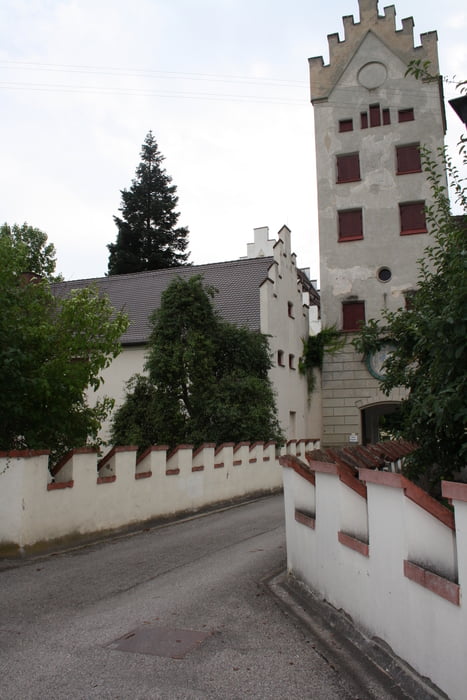
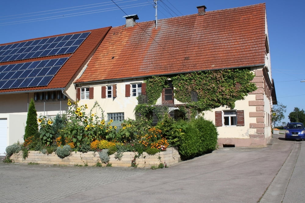
Galeria trasy

Mapa trasy i profil wysokości

  • Open Street Map
  • Google
Minimum height 510 m Maximum height 585 m Widok szczegółowy

More about the tour author

ulipele
Member since 2011

Send private message

Komentarze

Start und Ziel ist der Bahnhof in Illertissen.

GPS tracks

Trackpoints
  • GPX / Garmin Map Source (gpx) download
  • TCX / Garmin Training Center® (tcx) download
  • CRS / Garmin Training Center® (crs) download
  • Google Earth (kml) download
  • G7ToWin (g7t) download
  • TTQV (trk) download
  • Overlay (ovl) download
  • Fugawi (txt) download
  • Kompass (DAV) Track (tk) download
  • Karta trasy (pdf) download
  • Original file of the author (gpx) download

More about the tour author

ulipele
Member since 2011

Send private message
Share track
Add to my favorites
Remove from my favorites
Edit tags
My score
Rate
Trasa: Zwischen Iller und Günz Radführer West Augsburger Allgemeine Landkreis Neu-Ulm Illertisser Zeitung Radelnanders Mittelschwäbische Nachrichten
Rodzaj: Trasy rowerowe
Długość: 50,0 km
Evaluated on:
Czas trwania:
Day(s)
Hour(s)
Minute(s)
Ocena: Krajobraz Czynnik zadowolenia Kondycja Technika